
Ski Hire by Intersport
CODE: FORECASTSKI

Auris En Oisans Weather (Next 3 days): The snow forecast for Auris En Oisans is: Mild with light rain (total 3.0mm) on Mon afternoon Becoming colder with a light covering of snow, mostly falling on Wed night. Freeze-thaw conditions (max 3°C on Mon afternoon, min -2°C on Wed night). Wind will be generally light.
Auris En Oisans Weather (Days 4-6): A heavy fall of snow, heaviest during Sat night. Freeze-thaw conditions (max 1°C on Sat morning, min -6°C on Thu night). Wind will be generally light.
| Resort | Snow Depth | Temp. (°C) | Wind (km/h) | Weather | ||
|---|---|---|---|---|---|---|
| Top Lift: | -6 | |||||
| Middle Lift: | -1 | |||||
| Bottom Lift: | 3 |
Latest snow reports near Auris En Oisans:
Snow is falling in Briancon. from Briancon
Plenty of good snow at altitude. Rain expected on the lower runs and at resort level. from Val Thorens

Monday 29 | Tuesday 30 | Wednesday 1 | Thursday 2 | Friday 3 | Saturday 4 | Sunday 5 | |||||||||||||||
AM | PM | night | AM | PM | night | AM | PM | night | AM | PM | night | AM | PM | night | AM | PM | night | AM | PM | night | |
snow shwrs | light rain | light snow | cloudy | light snow | snow shwrs | light snow | light snow | mod. snow | mod. snow | light snow | light snow | some clouds | snow shwrs | light snow | light snow | light snow | snow shwrs | clear | clear | some clouds | |
km/h | |||||||||||||||||||||
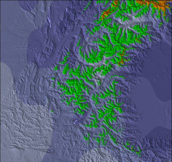
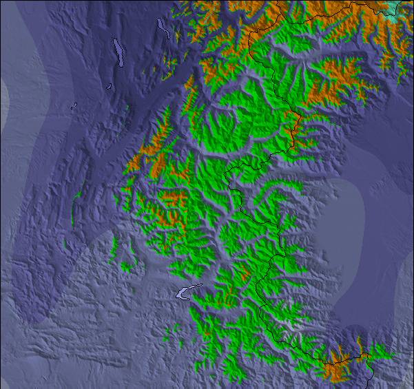
Snow map |  |  |  |  |  |  |  | ||||||||||||||
— | — | — | — | — | — | — | 1.0 | 6 | 8 | 2.0 | 1.0 | — | — | — | 1.0 | — | 10 | — | — | — | |
— | 2.0 | — | — | 1.0 | — | — | — | — | — | — | — | — | — | — | — | — | — | — | — | — | |
max°C | 2 | 3 | 2 | 3 | 2 | 1 | 1 | 2 | 1 | -3 | -4 | -5 | -3 | -2 | -2 | 1 | 1 | 0 | 0 | 2 | 2 |
min°C | 0 | 3 | 1 | 2 | 1 | 1 | 1 | 2 | -2 | -4 | -5 | -6 | -5 | -3 | -3 | -1 | 1 | -3 | -2 | 1 | 0 |
-4 | 0 | -3 | -1 | -2 | -2 | -2 | 0 | -5 | -7 | -9 | -11 | -9 | -5 | -6 | -5 | -3 | -8 | -4 | -2 | -3 | |
80 | 74 | 66 | 69 | 83 | 79 | 89 | 90 | 97 | 89 | 96 | 83 | 53 | 78 | 70 | 90 | 93 | 64 | 39 | 50 | 70 | |
2750 | 2850 | 2950 | 2850 | 2750 | 2750 | 2650 | 2700 | 2300 | 1800 | 1750 | 1350 | 2000 | 2200 | 2150 | 2550 | 2650 | 1500 | 2550 | 2700 | 2650 | |
6:26 | — | — | 6:24 | — | — | 6:24 | — | — | 6:22 | — | — | 6:20 | — | — | 6:20 | — | — | 6:18 | — | — | |
— | — | 8:38 | — | — | 8:39 | — | — | 8:40 | — | — | 8:43 | — | — | 8:44 | — | — | 8:45 | — | — | 8:45 | |
Mild with light rain (total 3.0mm) on Mon afternoon Becoming colder with a light covering of snow, mostly falling on Wed night. Freeze-thaw conditions (max 3°C on Mon afternoon, min -2°C on Wed night). Wind will be generally light.
A heavy fall of snow, heaviest during Sat night. Freeze-thaw conditions (max 1°C on Sat morning, min -6°C on Thu night). Wind will be generally light.
Latest snow reports near Auris En Oisans:
Snow is falling in Briancon. from Briancon
Plenty of good snow at altitude. Rain expected on the lower runs and at resort level. from Val Thorens
| Top snow depth: | — |
|---|---|
| Bottom snow depth: | — |
| Fresh snowfall depth: | 8 cm |
| Last snowfall: | 28 Apr 2024 |
| Snow Alerts | Create Alert |
0.4 | Bluebird Powder days Fresh snow, mostly sunny, light wind. |
|---|---|
1.5 | Powder days Fresh snow, limited sun, any wind. |
0.1 | Bluebird days Average snow, mostly sunny, light wind. |
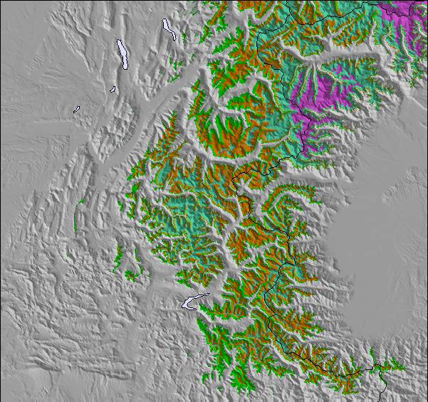
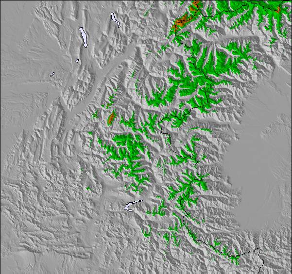
The above table gives the weather forecast for Auris En Oisans at the specific elevation of 2465 m. Our sophisticated weather models allow us to provide snow forecasts for the top, middle and bottom ski stations of Auris En Oisans. To access the weather forecasts for the other elevations, use the tab navigation above the table. For a wider view of the weather, check out the Weather Map of France.
Click here to read further information on freezing levels and how we forecast our temperatures.
Overall 3.8 Based on 4 votes and 2 reviews
I cannot praise the resort of Auris En Oisans highly enough. We have been every winter for the last 4 years and have never tired of the variety of slopes ranging all the way up to black. It is great for families with young children. There are restaurants, cafes, shops and several ski hire establishments, but obviously there are less there than big resorts such as Alpe d'Huez. Eating out and accommodation is much cheaper than big resorts. It is possible to buy lift passes for the resort only or if required passes that include Alpe d'Huez too. This opens up a huge area for skiing. If you want a quiet resort with excellent slopes then this is the place for you.
hilary from France writes:
I cannot praise the resort of Auris En Oisans highly enough. We have been every winter for the last 4 years and have never tired of the variety of slopes ranging all the way up to black. It is great for families with young children. There are restaurants, cafes, shops and several ski hire establishments, but obviously there are less there than big resorts such as Alpe d'Huez. Eating out and accommodation is much cheaper than big resorts. It is possible to buy lift passes for the resort only or if required passes that include Alpe d'Huez too. This opens up a huge area for skiing. If you want a quiet resort with excellent slopes then this is the place for you.
The Auris En Oisans skiing weather widget is available to embed on external websites free of charge. It provides a daily summary of our Auris En Oisans snow forecast and current weather conditions. Simply go to the feed configuration page and follow the 3 simple steps to grab the custom html code snippet and paste it into your own site. You can choose the snow forecast elevation (summit, mid-mountain or bottom lift) and metric/imperial units for the snow forecast feed to suit your own website…. Click here to get the code.
View detailed snow forecast for Auris En Oisans at:
snow-forecast.com


 Nearest