


View forecast
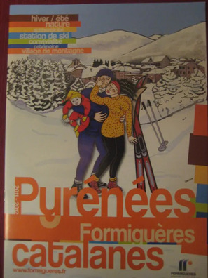
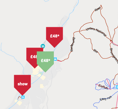
Formigueres at 2075 m altitude
Issued by Snow-Forecast.com at: 1 am (local time) / 04 May 2024
Now
Saturday 4 | Sunday 5 | Monday 6 | Tuesday 7 | Wednesday 8 | Thursday 9 | Friday 10 | |||||||||||||||
AM | PM | night | AM | PM | night | AM | PM | night | AM | PM | night | AM | PM | night | AM | PM | night | AM | PM | night | |
some clouds | light rain | rain shwrs | some clouds | rain shwrs | light rain | light rain | rain shwrs | light snow | snow shwrs | light snow | light snow | light snow | light snow | light snow | some clouds | some clouds | rain shwrs | clear | clear | clear | |
km/h | |||||||||||||||||||||
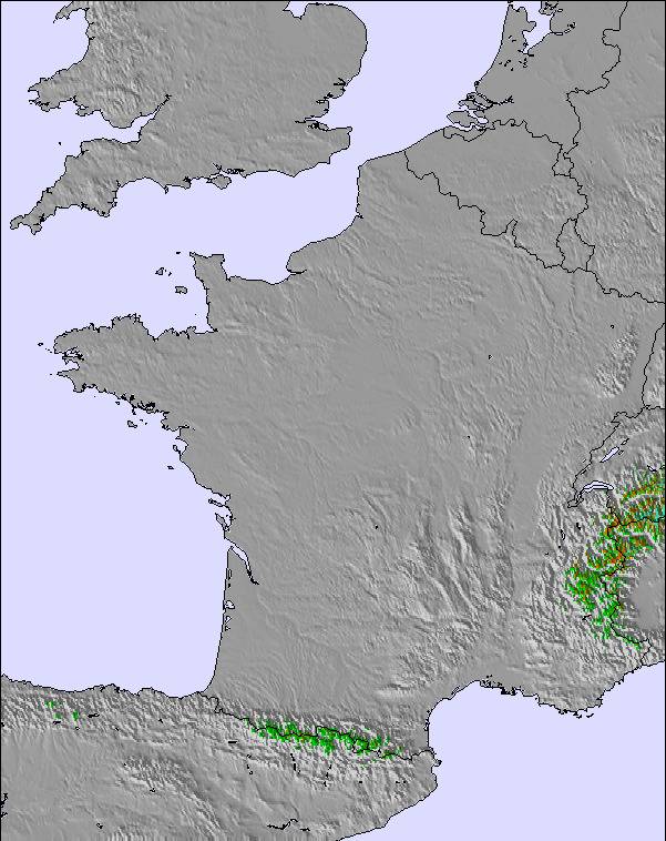
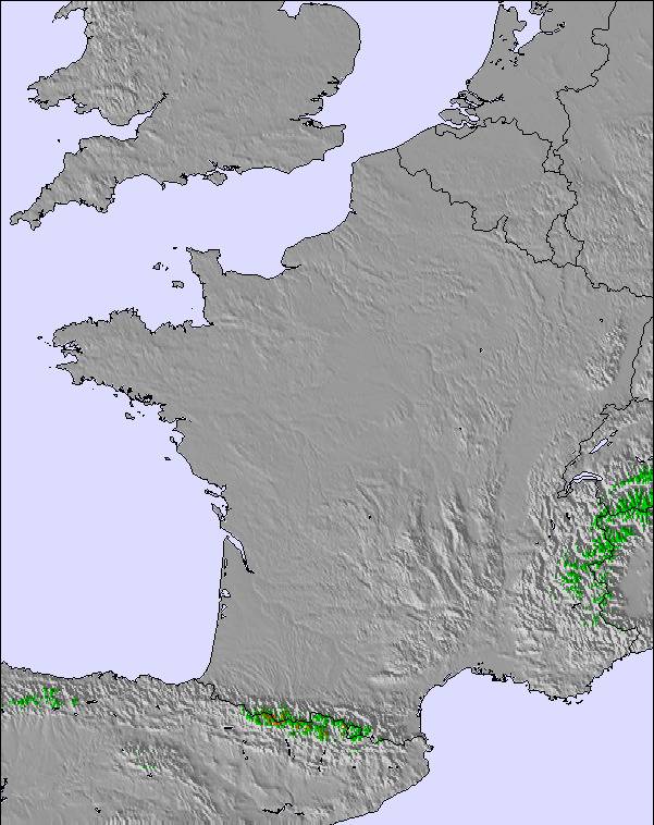
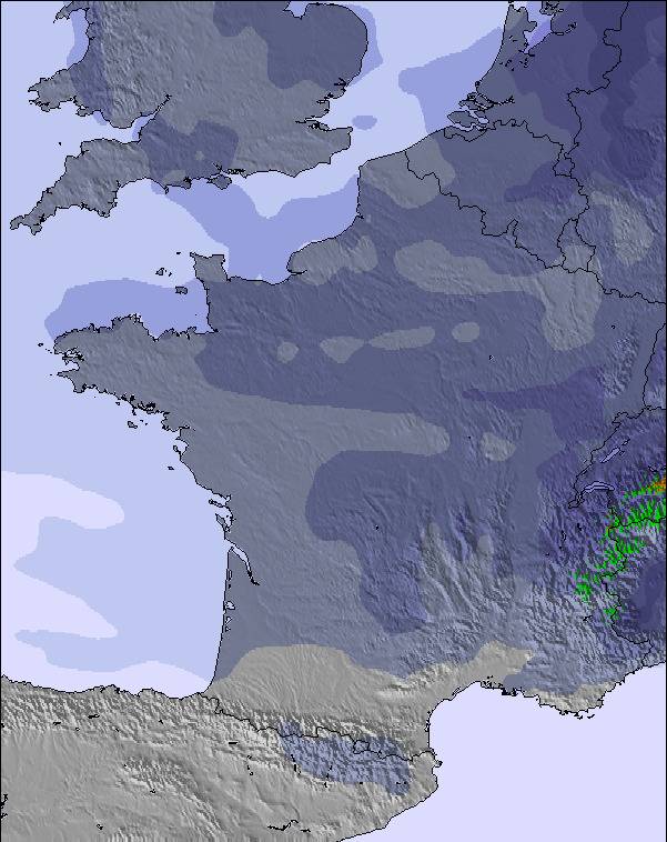
Snow map |  |  |  |  |  | 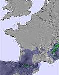 | 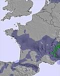 | ||||||||||||||
— | — | — | — | — | — | — | — | 1.0 | — | 1.0 | 3 | 4 | 1.0 | — | — | — | — | — | — | — | |
— | 1.0 | 1.0 | — | 2.0 | 3 | 1.0 | 9 | — | — | — | — | — | — | — | — | — | 2.0 | — | — | — | |
max°C | 7 | 8 | 7 | 8 | 9 | 8 | 5 | 4 | 2 | 0 | 1 | 0 | 0 | 2 | 3 | 5 | 7 | 6 | 8 | 11 | 9 |
min°C | 3 | 8 | 5 | 6 | 8 | 5 | 4 | 3 | 0 | -1 | 1 | -1 | 0 | 1 | 2 | 3 | 6 | 4 | 6 | 10 | 8 |
0 | 7 | 2 | 4 | 6 | 2 | 2 | 0 | -4 | -4 | -4 | -7 | -7 | -4 | -3 | 0 | 4 | 2 | 4 | 9 | 6 | |
61 | 79 | 84 | 72 | 66 | 89 | 89 | 93 | 92 | 79 | 85 | 98 | 99 | 97 | 87 | 65 | 69 | 71 | 44 | 53 | 44 | |
3150 | 3100 | 3000 | 3100 | 3100 | 2950 | 2800 | 2650 | 2200 | 2100 | 2150 | 2000 | 2150 | 2400 | 2650 | 2900 | 3000 | 3150 | 3450 | 3500 | 3800 | |
6:41 | — | — | 6:39 | — | — | 6:39 | — | — | 6:37 | — | — | 6:35 | — | — | 6:35 | — | — | 6:33 | — | — | |
— | — | 8:54 | — | — | 8:55 | — | — | 8:57 | — | — | 8:58 | — | — | 8:59 | — | — | 9:00 | — | — | 9:01 | |
Next 0-3 days weather summary:
Moderate rain (total 17.0mm) heaviest on Mon afternoon, then becoming colder with a dusting of snow on Mon night. Freeze-thaw conditions (max 9°C on Sun afternoon, min 0°C on Mon night). Wind will be generally light.
Next 4-6 days weather summary:
A light covering of new snow, mostly falling on Wed morning. Becoming milder with light rain (total 2.0mm) on Thu night. Freeze-thaw conditions (max 7°C on Thu afternoon, min -1°C on Tue morning). Winds decreasing (fresh winds from the NNW on Wed morning, light winds from the NNW by Thu night).
Popular Formigueres Pages
Snow Radar
Submit a reportLatest snow reports near Formigueres:
12 km away from Formigueres
20 hours ago
Light rain reported from Cereja wx at 1307 metres elevation 8 kms SSW of Font Romeu but it is forecast cold enough for snow at higher elevations in the ski area from Font Romeu
Formigueres Snow Conditions
| Top snow depth: | — |
|---|---|
| Bottom snow depth: | — |
| Fresh snowfall depth: | — |
| Last snowfall: | 2 May 2024 |
| Snow Alerts | Create Alert |
Other resorts in France are reporting: powder (1) / good piste (0)
Snow-Forecast Partner Offers
Show your business here
Snow History
Week 1 of May has on average:
0.4 | Bluebird Powder days Fresh snow, mostly sunny, light wind. |
|---|---|
0.4 | Powder days Fresh snow, limited sun, any wind. |
0.0 | Bluebird days Average snow, mostly sunny, light wind. |

Formigueres Forecast Snowfall
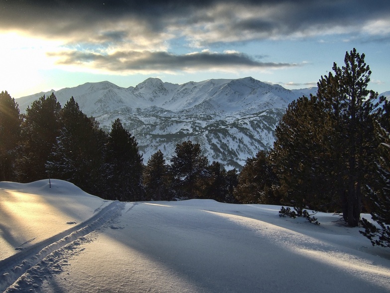
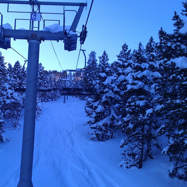
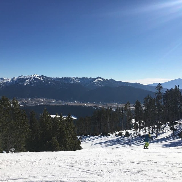
Photos of Formigueres
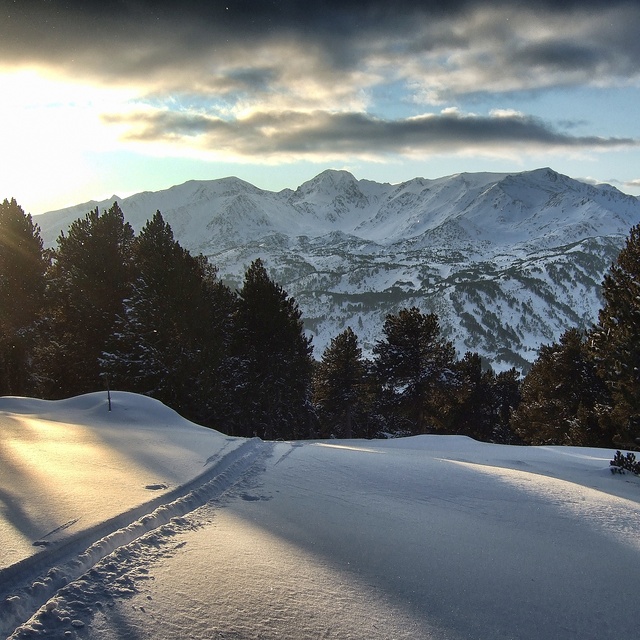
Perfect End to the Day by Pyrenees Mountain Adventure
TS Calmazeille by agp10
Resort closes this week as a result of warm weather. by Snow Forecast Admin
Other resorts in France are reporting: powder (1) / good piste (0)
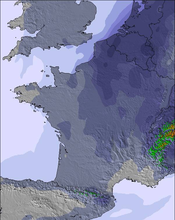
The above table gives the weather forecast for Formigueres at the specific elevation of 2075 m. Our sophisticated weather models allow us to provide snow forecasts for the top, middle and bottom ski stations of Formigueres. To access the weather forecasts for the other elevations, use the tab navigation above the table. For a wider view of the weather, check out the Weather Map of France.
Click here to read further information on freezing levels and how we forecast our temperatures.
Visitor Reviews of Formigueres
Overall 3.6 Based on 3 votes and 5 reviews
- Snowsure
- Variety of pistes
- Vote
- Adrian Hands from United Kingdom writes:
My kids just love this place (10 and 11). We have skied the Capcir region twice a year for the last 5 years and will be there again this half-term. Whilst it may not be the most challeging area there is more than enough to keep the novice progressing up to some challenging Reds. When the sun shines (many slopes face southeast) this small area can get quite sugary late in the afternoon and bare patches come through quickly (it's not quite as snowsure as the 3 Valleys) .........but if you ski the top runs it can still be quite lovely.
Visitor Reviews of Formigueres
Adrian Hands from United Kingdom writes:
My kids just love this place (10 and 11). We have skied the Capcir region twice a year for the last 5 years and will be there again this half-term. Whilst it may not be the most challeging area there is more than enough to keep the novice progressing up to some challenging Reds. When the sun shines (many slopes face southeast) this small area can get quite sugary late in the afternoon and bare patches come through quickly (it's not quite as snowsure as the 3 Valleys) .........but if you ski the top runs it can still be quite lovely.
Free Snow-Forecast.com weather widget for your website
The Formigueres skiing weather widget is available to embed on external websites free of charge. It provides a daily summary of our Formigueres snow forecast and current weather conditions. Simply go to the feed configuration page and follow the 3 simple steps to grab the custom html code snippet and paste it into your own site. You can choose the snow forecast elevation (summit, mid-mountain or bottom lift) and metric/imperial units for the snow forecast feed to suit your own website…. Click here to get the code.
View detailed snow forecast for Formigueres at:
snow-forecast.com

 Nearest