
Ski Lessons by SkiBro
BOOK NOW
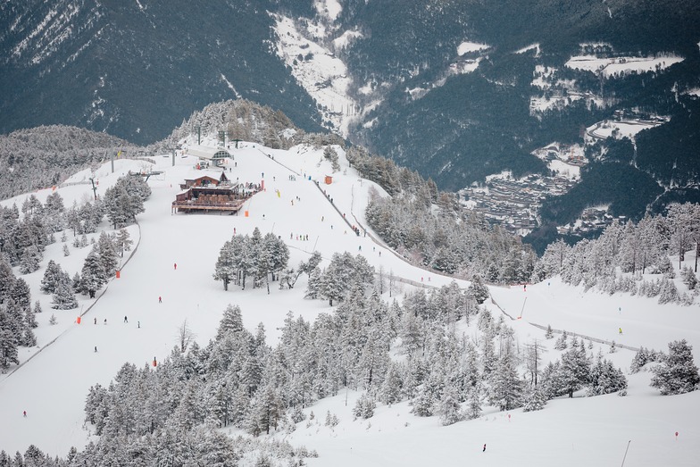
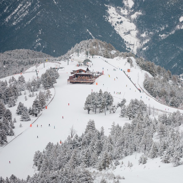
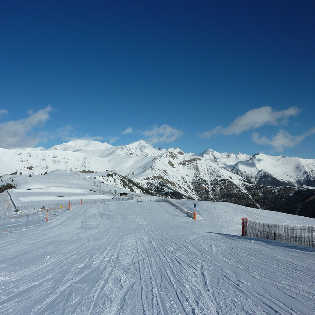
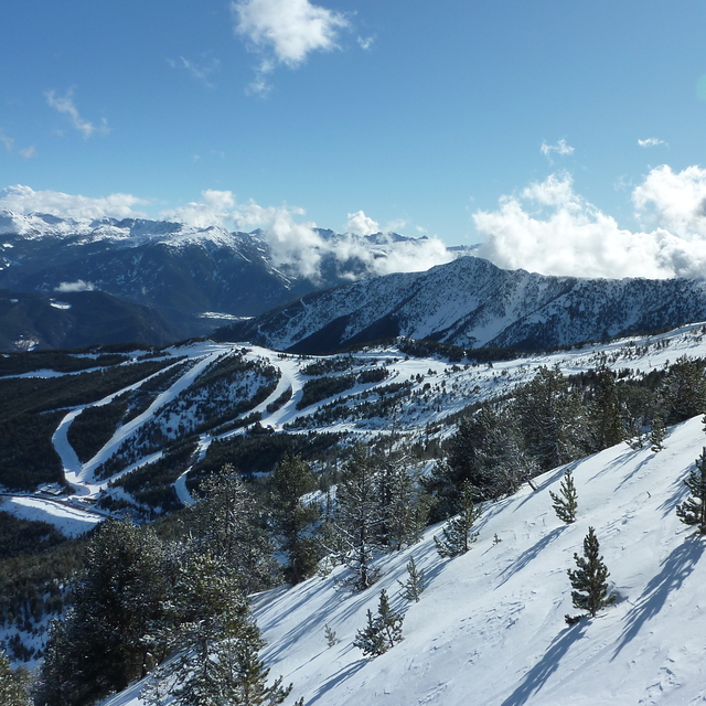
Ski lessons in Pal
Book now


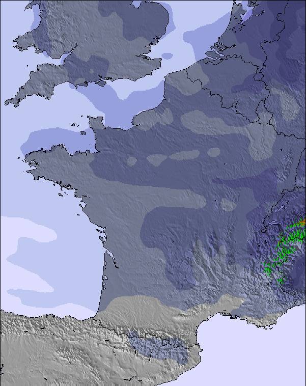
Pal Weather (Next 3 days): The snow forecast for Pal is: Moderate rain (total 13.0mm) heaviest on Sun night, then becoming colder with a dusting of snow on Sun night. Freeze-thaw conditions (max 5°C on Sat afternoon, min 0°C on Sat morning). Wind will be generally light.
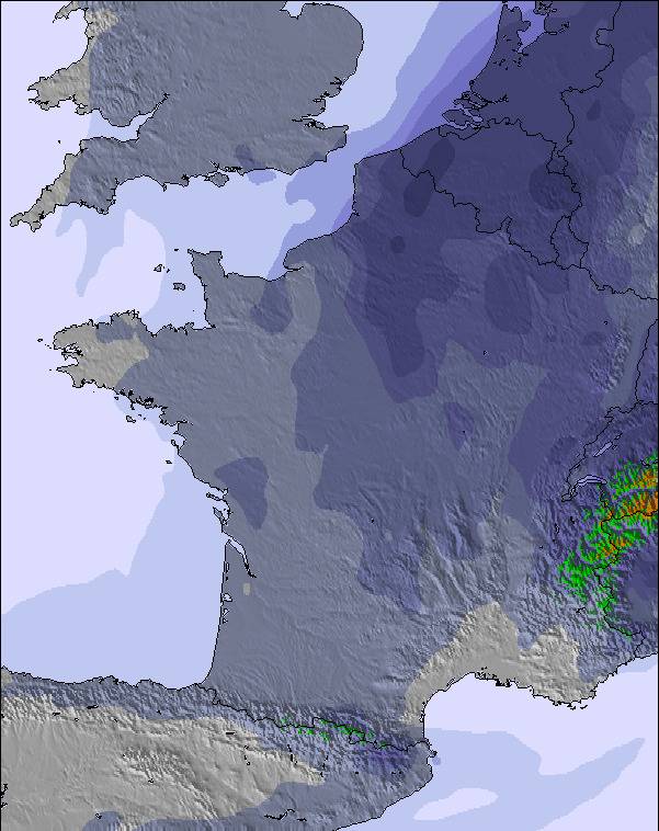
Pal Weather (Days 4-6): Mild with moderate rain (total 11.0mm) on Tue afternoon, Becoming colder with a light covering of snow, mostly falling on Thu afternoon. Freeze-thaw conditions (max 4°C on Wed afternoon, min 0°C on Thu night). Wind will be generally light.
| Resort | Snow Depth | Temp. (°C) | Wind (km/h) | Weather | ||
|---|---|---|---|---|---|---|
| Top Lift: | 0.0 m | 4 | ||||
| Middle Lift: | 6 | |||||
| Bottom Lift: | 0.0 m | 10 |
Latest snow reports near Pal:
Light rain reported from Urbanització Sa Calma wx at 1270 metres elevation 8 kms SSW of Grandvalira-Canillo but it is forecast cold enough for snow at higher elevations in the ski area from Grandvalira-Canillo

Saturday 18 | Sunday 19 | Monday 20 | Tuesday 21 | Wednesday 22 | Thursday 23 | Friday 24 | |||||||||||||||
AM | PM | night | AM | PM | night | AM | PM | night | AM | PM | night | AM | PM | night | AM | PM | night | AM | PM | night | |
snow shwrs | rain shwrs | rain shwrs | clear | risk thun- der | snow shwrs | snow shwrs | rain shwrs | snow shwrs | some clouds | light rain | light snow | snow shwrs | rain shwrs | snow shwrs | light snow | snow shwrs | snow shwrs | clear | light rain | rain shwrs | |
km/h | |||||||||||||||||||||
Snow map |  |  |  |  |  | 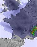 |  | ||||||||||||||
— | — | — | — | — | 2.0 | — | — | — | — | — | 1.0 | — | — | — | 1.0 | 2.0 | 1.0 | — | — | — | |
— | 2.0 | 1.0 | — | 3 | 3 | 1.0 | 2.0 | 1.0 | — | 3 | — | — | 1.0 | 3 | — | 2.0 | 2.0 | — | 3 | 2.0 | |
max°C | 1 | 5 | 3 | 4 | 5 | 3 | 3 | 4 | 2 | 2 | 3 | 2 | 2 | 4 | 4 | 2 | 2 | 2 | 2 | 4 | 3 |
min°C | 0 | 4 | 2 | 2 | 4 | 2 | 2 | 4 | 0 | 1 | 3 | 1 | 1 | 4 | 1 | 2 | 2 | 0 | 1 | 4 | 2 |
-4 | 1 | 1 | -1 | 1 | -2 | -2 | 0 | -3 | -1 | 1 | -3 | -4 | 0 | -4 | -3 | -2 | -2 | 0 | 2 | 0 | |
76 | 60 | 83 | 74 | 81 | 84 | 72 | 75 | 78 | 77 | 85 | 92 | 71 | 73 | 92 | 95 | 87 | 90 | 65 | 82 | 66 | |
2500 | 2850 | 2700 | 2800 | 2900 | 2750 | 2700 | 2800 | 2450 | 2650 | 2700 | 2500 | 2650 | 2800 | 2700 | 2600 | 2700 | 2350 | 2650 | 2800 | 2850 | |
6:28 | — | — | 6:28 | — | — | 6:26 | — | — | 6:26 | — | — | 6:24 | — | — | 6:24 | — | — | 6:22 | — | — | |
— | — | 9:12 | — | — | 9:13 | — | — | 9:14 | — | — | 9:15 | — | — | 9:15 | — | — | 9:16 | — | — | 9:17 | |
Moderate rain (total 13.0mm) heaviest on Sun night, then becoming colder with a dusting of snow on Sun night. Freeze-thaw conditions (max 5°C on Sat afternoon, min 0°C on Sat morning). Wind will be generally light.
Mild with moderate rain (total 11.0mm) on Tue afternoon, Becoming colder with a light covering of snow, mostly falling on Thu afternoon. Freeze-thaw conditions (max 4°C on Wed afternoon, min 0°C on Thu night). Wind will be generally light.
Latest snow reports near Pal:
Light rain reported from Urbanització Sa Calma wx at 1270 metres elevation 8 kms SSW of Grandvalira-Canillo but it is forecast cold enough for snow at higher elevations in the ski area from Grandvalira-Canillo
| Top snow depth: | 0 cm |
|---|---|
| Bottom snow depth: | 0 cm |
| Fresh snowfall depth: | — |
| Last snowfall: | 16 May 2024 |
| Snow Alerts | Create Alert |
0.1 | Bluebird Powder days Fresh snow, mostly sunny, light wind. |
|---|---|
0.4 | Powder days Fresh snow, limited sun, any wind. |
0.2 | Bluebird days Average snow, mostly sunny, light wind. |
The above table gives the weather forecast for Pal at the specific elevation of 2365 m. Our sophisticated weather models allow us to provide snow forecasts for the top, middle and bottom ski stations of Pal. To access the weather forecasts for the other elevations, use the tab navigation above the table. For a wider view of the weather, check out the Weather Map of Andorra.
Click here to read further information on freezing levels and how we forecast our temperatures.
Overall 3.8 Based on 4 votes and 4 reviews
El pasado viernes19 de Enero un loco de la vida en una pista azul vacía y súper ancha se me llevó por delante. En El Centro médico me diagnosticaron rotura fibrilar en el aductor derecho, pues llegó a Castellón voy al hospital y tras una radiografía rotura de pelvis. Por lo demás Andorra es una maravilla.
Ramon from Spain writes:
El pasado viernes19 de Enero un loco de la vida en una pista azul vacía y súper ancha se me llevó por delante. En El Centro médico me diagnosticaron rotura fibrilar en el aductor derecho, pues llegó a Castellón voy al hospital y tras una radiografía rotura de pelvis.
Por lo demás Andorra es una maravilla.
The Pal skiing weather widget is available to embed on external websites free of charge. It provides a daily summary of our Pal snow forecast and current weather conditions. Simply go to the feed configuration page and follow the 3 simple steps to grab the custom html code snippet and paste it into your own site. You can choose the snow forecast elevation (summit, mid-mountain or bottom lift) and metric/imperial units for the snow forecast feed to suit your own website…. Click here to get the code.
View detailed snow forecast for Pal at:
snow-forecast.com


 Nearest