
Ski Hire by Intersport
Click here for discount

Sörenberg Weather (Next 3 days): The snow forecast for Sörenberg is: A dusting of snow turning to light rain (total 3.0mm) on Sun morning. Freeze-thaw conditions (max 6°C on Sun afternoon, min -1°C on Fri night). Wind will be generally light.
Sörenberg Weather (Days 4-6): Mild at first with light rain (total 6.0mm) on Mon afternoon followed by colder weather and light fall of snow, heaviest on Mon night. Freeze-thaw conditions (max 5°C on Mon afternoon, min -1°C on Mon night). Wind will be generally light.
| Resort | Snow Depth | Temp. (°C) | Wind (km/h) | Weather | ||
|---|---|---|---|---|---|---|
| Top Lift: | 0.0 m | -4 | ||||
| Middle Lift: | 0 | |||||
| Bottom Lift: | 0.0 m | 5 |
Latest snow reports near Sörenberg:
Intermittent light snow reported from Jungfrau Mountain at 3576 metres elevation 7 kms E of Mürren but it is probably falling as rain at the bottom of the ski area from Mürren
Shower light rain shower reported from Alpnach Airport at 444 metres elevation 8 kms W of Dallenwil Wirzweli but it is forecast cold enough for snow at higher elevations in the ski area from Dallenwil Wirzweli

Fri 3 | Saturday 4 | Sunday 5 | Monday 6 | Tuesday 7 | Wednesday 8 | Thursday 9 | ||||||||||||||
PM | night | AM | PM | night | AM | PM | night | AM | PM | night | AM | PM | night | AM | PM | night | AM | PM | night | |
light snow | light snow | cloudy | cloudy | cloudy | light rain | light rain | rain shwrs | cloudy | light rain | mod. snow | light snow | light snow | light snow | light snow | light snow | light snow | light snow | light rain | some clouds | |
km/h | ||||||||||||||||||||
Snow map |  |  |  |  |  |  |  | |||||||||||||
1.0 | 1.0 | — | — | — | — | — | — | — | — | 7 | 2.0 | 1.0 | 3 | — | — | — | — | — | — | |
— | — | — | — | — | 1.0 | 1.0 | 1.0 | — | 5 | — | — | — | — | — | 1.0 | — | — | 2.0 | — | |
max°C | 0 | 0 | 2 | 5 | 3 | 5 | 6 | 6 | 6 | 5 | 1 | -1 | 1 | 0 | 0 | 2 | 2 | 2 | 3 | 4 |
min°C | 0 | -1 | 0 | 4 | 3 | 4 | 6 | 4 | 5 | 3 | -1 | -1 | 0 | -1 | -1 | 2 | 1 | 1 | 3 | 4 |
-2 | -1 | 0 | 3 | 1 | 2 | 6 | 3 | 4 | 3 | -5 | -5 | -4 | -3 | -4 | -1 | -3 | -4 | 0 | 2 | |
94 | 78 | 70 | 73 | 74 | 72 | 83 | 85 | 72 | 98 | 98 | 98 | 93 | 92 | 90 | 86 | 93 | 92 | 87 | 71 | |
2050 | 1900 | 2300 | 2550 | 2600 | 2750 | 2850 | 2750 | 2850 | 2550 | 1950 | 1900 | 2100 | 1900 | 1950 | 2300 | 2250 | 2350 | 2800 | 3250 | |
— | — | 6:07 | — | — | 6:05 | — | — | 6:03 | — | — | 6:03 | — | — | 6:01 | — | — | 6:00 | — | — | |
— | 8:40 | — | — | 8:42 | — | — | 8:43 | — | — | 8:45 | — | — | 8:45 | — | — | 8:46 | — | — | 8:49 | |
A dusting of snow turning to light rain (total 3.0mm) on Sun morning. Freeze-thaw conditions (max 6°C on Sun afternoon, min -1°C on Fri night). Wind will be generally light.
Mild at first with light rain (total 6.0mm) on Mon afternoon followed by colder weather and light fall of snow, heaviest on Mon night. Freeze-thaw conditions (max 5°C on Mon afternoon, min -1°C on Mon night). Wind will be generally light.
Latest snow reports near Sörenberg:
Intermittent light snow reported from Jungfrau Mountain at 3576 metres elevation 7 kms E of Mürren but it is probably falling as rain at the bottom of the ski area from Mürren
Shower light rain shower reported from Alpnach Airport at 444 metres elevation 8 kms W of Dallenwil Wirzweli but it is forecast cold enough for snow at higher elevations in the ski area from Dallenwil Wirzweli
| Top snow depth: | 0 cm |
|---|---|
| Bottom snow depth: | 0 cm |
| Fresh snowfall depth: | 4 cm |
| Last snowfall: | 2 May 2024 |
| Snow Alerts | Create Alert |
0.3 | Bluebird Powder days Fresh snow, mostly sunny, light wind. |
|---|---|
0.8 | Powder days Fresh snow, limited sun, any wind. |
0.1 | Bluebird days Average snow, mostly sunny, light wind. |
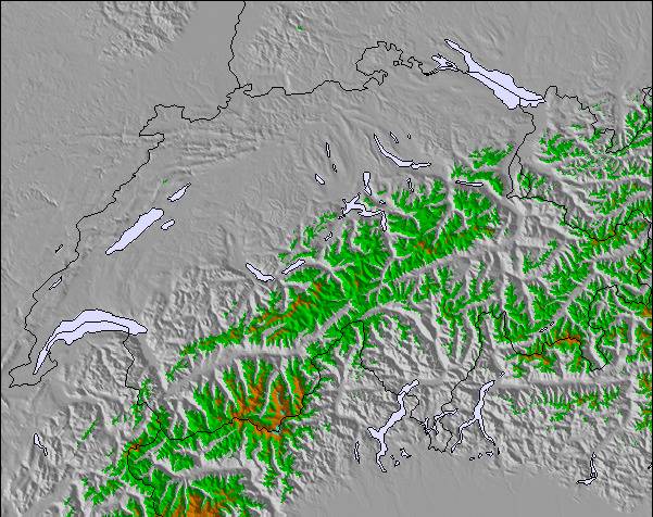
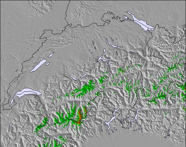
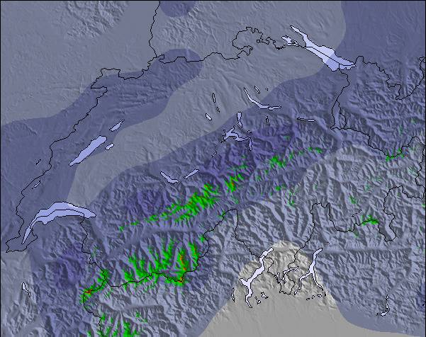
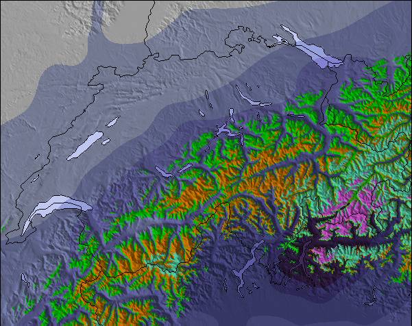
The above table gives the weather forecast for Sörenberg at the specific elevation of 2001 m. Our sophisticated weather models allow us to provide snow forecasts for the top, middle and bottom ski stations of Sörenberg. To access the weather forecasts for the other elevations, use the tab navigation above the table. For a wider view of the weather, check out the Weather Map of Switzerland.
Click here to read further information on freezing levels and how we forecast our temperatures.
Resort name is also written as Sorenberg.
Sörenberg is a great place and great value. It's an open minded fun place. Check their homepage free-spirit.ch
Daniel Furrer from Switzerland writes:
Sörenberg is a great place and great value. It's an open minded fun place.
Check their homepage free-spirit.ch
The Sörenberg skiing weather widget is available to embed on external websites free of charge. It provides a daily summary of our Sörenberg snow forecast and current weather conditions. Simply go to the feed configuration page and follow the 3 simple steps to grab the custom html code snippet and paste it into your own site. You can choose the snow forecast elevation (summit, mid-mountain or bottom lift) and metric/imperial units for the snow forecast feed to suit your own website…. Click here to get the code.
View detailed snow forecast for Sörenberg at:
snow-forecast.com


 Nearest