
Airport Transfers by Alpine FLeet
BOOK NOW


Val d'Isere Weather (Next 3 days): The snow forecast for Val d'Isere is: Heavy rain (total 36.0mm), heaviest during Thu night. Later becoming colder with a dusting of snow on Thu night. Freeze-thaw conditions (max 6°C on Fri afternoon, min -3°C on Thu night). Wind will be generally light.
Val d'Isere Weather (Days 4-6): Heavy rain (total 25.0mm), heaviest during Sun afternoon. Very mild (max 11°C on Mon afternoon, min 4°C on Sat morning). Wind will be generally light.
| Resort | Snow Depth | Temp. (°C) | Wind (km/h) | Weather | ||
|---|---|---|---|---|---|---|
| Top Lift: | -6 | |||||
| Middle Lift: | -1 | |||||
| Bottom Lift: | 5 |
Latest snow reports near Val d'Isere:
Light rain reported from Aosta Airport at 546 metres elevation 5 kms NE of Pila but it is forecast cold enough for snow at the ski area from Pila
Light rain reported from Aosta Airport at 546 metres elevation 5 kms NE of Pila but it is forecast cold enough for snow at higher elevations in the ski area from Pila

Wednesday 15 | Thursday 16 | Friday 17 | Saturday 18 | Sunday 19 | Monday 20 | Tuesday 21 | |||||||||||||||
AM | PM | night | AM | PM | night | AM | PM | night | AM | PM | night | AM | PM | night | AM | PM | night | AM | PM | night | |
mod. rain | light rain | mod. rain | light rain | light rain | light snow | clear | rain shwrs | rain shwrs | some clouds | light rain | light rain | some clouds | risk thun- der | rain shwrs | rain shwrs | light rain | light rain | heavy rain | heavy rain | mod. rain | |
km/h | |||||||||||||||||||||
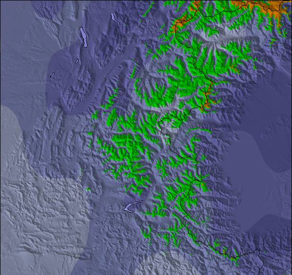
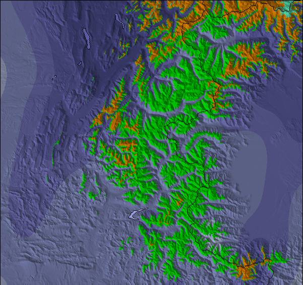
Snow map |  |  |  |  |  |  |  | ||||||||||||||
— | — | — | — | — | 1.0 | — | — | — | — | — | — | — | — | — | — | — | — | — | — | — | |
10 | 2.0 | 7 | 2.0 | 5 | 7 | — | 2.0 | 1.0 | — | 3 | 5 | — | 4 | 4 | 1.0 | 3 | 5 | 23 | 14 | 8 | |
max°C | 5 | 5 | 4 | 5 | 5 | 3 | 4 | 6 | 5 | 6 | 7 | 6 | 7 | 10 | 8 | 10 | 11 | 8 | 4 | 5 | 4 |
min°C | 3 | 5 | 2 | 3 | 4 | -3 | 1 | 5 | 0 | 4 | 7 | 4 | 5 | 10 | 5 | 7 | 10 | 4 | 3 | 4 | 3 |
1 | 3 | 0 | 1 | 4 | -3 | 0 | 5 | 0 | 4 | 6 | 4 | 5 | 10 | 5 | 7 | 10 | 3 | 3 | 4 | 3 | |
98 | 95 | 98 | 88 | 96 | 91 | 78 | 80 | 86 | 79 | 84 | 92 | 77 | 73 | 78 | 71 | 71 | 67 | 98 | 99 | 99 | |
2600 | 2600 | 2400 | 2400 | 2450 | 2050 | 2450 | 2700 | 2450 | 2650 | 2850 | 2650 | 2800 | 3050 | 2950 | 3000 | 3150 | 3000 | 2750 | 2700 | 2500 | |
6:01 | — | — | 6:00 | — | — | 5:58 | — | — | 5:58 | — | — | 5:56 | — | — | 5:56 | — | — | 5:54 | — | — | |
— | — | 8:55 | — | — | 8:57 | — | — | 8:58 | — | — | 8:59 | — | — | 9:00 | — | — | 9:01 | — | — | 9:02 | |
Heavy rain (total 36.0mm), heaviest during Thu night. Later becoming colder with a dusting of snow on Thu night. Freeze-thaw conditions (max 6°C on Fri afternoon, min -3°C on Thu night). Wind will be generally light.
Heavy rain (total 25.0mm), heaviest during Sun afternoon. Very mild (max 11°C on Mon afternoon, min 4°C on Sat morning). Wind will be generally light.
Latest snow reports near Val d'Isere:
Light rain reported from Aosta Airport at 546 metres elevation 5 kms NE of Pila but it is forecast cold enough for snow at the ski area from Pila
Light rain reported from Aosta Airport at 546 metres elevation 5 kms NE of Pila but it is forecast cold enough for snow at higher elevations in the ski area from Pila
| Top snow depth: | — |
|---|---|
| Bottom snow depth: | — |
| Fresh snowfall depth: | 5 cm |
| Last snowfall: | 14 May 2024 |
| Snow Alerts | Create Alert |
0.0 | Bluebird Powder days Fresh snow, mostly sunny, light wind. |
|---|---|
0.0 | Powder days Fresh snow, limited sun, any wind. |
0.0 | Bluebird days Average snow, mostly sunny, light wind. |
The above table gives the weather forecast for Val d'Isere at the specific elevation of 1850 m. Our sophisticated weather models allow us to provide snow forecasts for the top, middle and bottom ski stations of Val d'Isere. To access the weather forecasts for the other elevations, use the tab navigation above the table. For a wider view of the weather, check out the Weather Map of France.
Click here to read further information on freezing levels and how we forecast our temperatures.
Overall 4.2 Based on 69 votes and 64 reviews
Returning this year for at least the 20th time. For skiing (as opposed to boarding) Val is simply the best all-round resort for all except beginners (see below), and the apres, the bar scene and the restaurants are legendary. The lift system and bus services are also superb, giving easy opportunity to cover all areas of the Espace Killy. For on-piste skiing, advanced and intermediates will never run out of variety. With excellent links all across the vast area from the left edge of the map with crisp corduroy on the lovely Fornet glacier area in the morning. All the way over to the extreme right of the map with the superb very long (partially) black "Sache" from up at the Aiguille Percee all the way down to Les Brevieres. My only warning would be to beginners and intermediates of a timid nature. Val is a fairly challenging resort with a huge variety of reds and blacks. This, in my opinion, has resulted in the deliberate down-grading of some fairly difficult reds to blue status in order to get the right colour balance on the piste map and to encourage families and beginners who would otherwise be put off visiting. Some of the blues in Val would definitely be graded red in most resorts. This can result in unwelcome and exhausting problems for some less able skiers getting down back to resort at the end of a hard day, especially if conditions are poor. I can't comment on the off-piste, but for piste skiing it's 5* for advanced and intermediates, 2* for beginners, and probably only 2* for boarders, who are not made welcome here and have largely stopped coming in the last couple of years. We can't stay away and will keep coming year after year.
Simon Eames from United Kingdom writes:
Returning this year for at least the 20th time. For skiing (as opposed to boarding) Val is simply the best all-round resort for all except beginners (see below), and the apres, the bar scene and the restaurants are legendary. The lift system and bus services are also superb, giving easy opportunity to cover all areas of the Espace Killy.
For on-piste skiing, advanced and intermediates will never run out of variety. With excellent links all across the vast area from the left edge of the map with crisp corduroy on the lovely Fornet glacier area in the morning. All the way over to the extreme right of the map with the superb very long (partially) black "Sache" from up at the Aiguille Percee all the way down to Les Brevieres.
My only warning would be to beginners and intermediates of a timid nature. Val is a fairly challenging resort with a huge variety of reds and blacks. This, in my opinion, has resulted in the deliberate down-grading of some fairly difficult reds to blue status in order to get the right colour balance on the piste map and to encourage families and beginners who would otherwise be put off visiting. Some of the blues in Val would definitely be graded red in most resorts. This can result in unwelcome and exhausting problems for some less able skiers getting down back to resort at the end of a hard day, especially if conditions are poor.
I can't comment on the off-piste, but for piste skiing it's 5* for advanced and intermediates, 2* for beginners, and probably only 2* for boarders, who are not made welcome here and have largely stopped coming in the last couple of years. We can't stay away and will keep coming year after year.
The Val d'Isere skiing weather widget is available to embed on external websites free of charge. It provides a daily summary of our Val d'Isere snow forecast and current weather conditions. Simply go to the feed configuration page and follow the 3 simple steps to grab the custom html code snippet and paste it into your own site. You can choose the snow forecast elevation (summit, mid-mountain or bottom lift) and metric/imperial units for the snow forecast feed to suit your own website…. Click here to get the code.
View detailed snow forecast for Val d'Isere at:
snow-forecast.com


 Nearest