Europe Weekly Roundup #235
(Updated 3 April 2024) A comprehensive review of snow conditions, weather, and updates for Europe's winter sports destinations.

Alpine Drama: Europe's Ski Havens Battle Gale-Force Winds and Avalanche Fears
- April marks the end of the season for most Northern Hemisphere ski areas, with Europe and North America seeing closures amidst significant snowfall, while anticipation builds for the Southern Hemisphere's 2024 season.
- Heavy snowfall in the southern Alps boosts base depths to over 5 meters, but gale-force winds and avalanche risks impact operations; temperatures rise, signaling the winding down of the season.
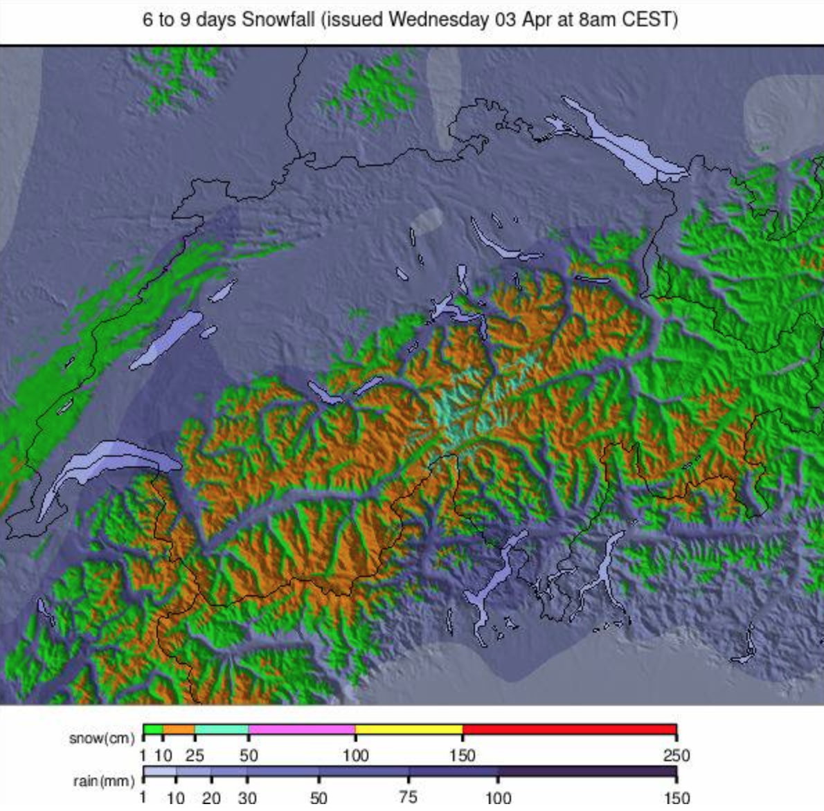
- Warmer, drier weather is expected across Europe, with temperatures climbing up to +20°C in some areas, leading to rapid melting of the snowpack.
World Overview
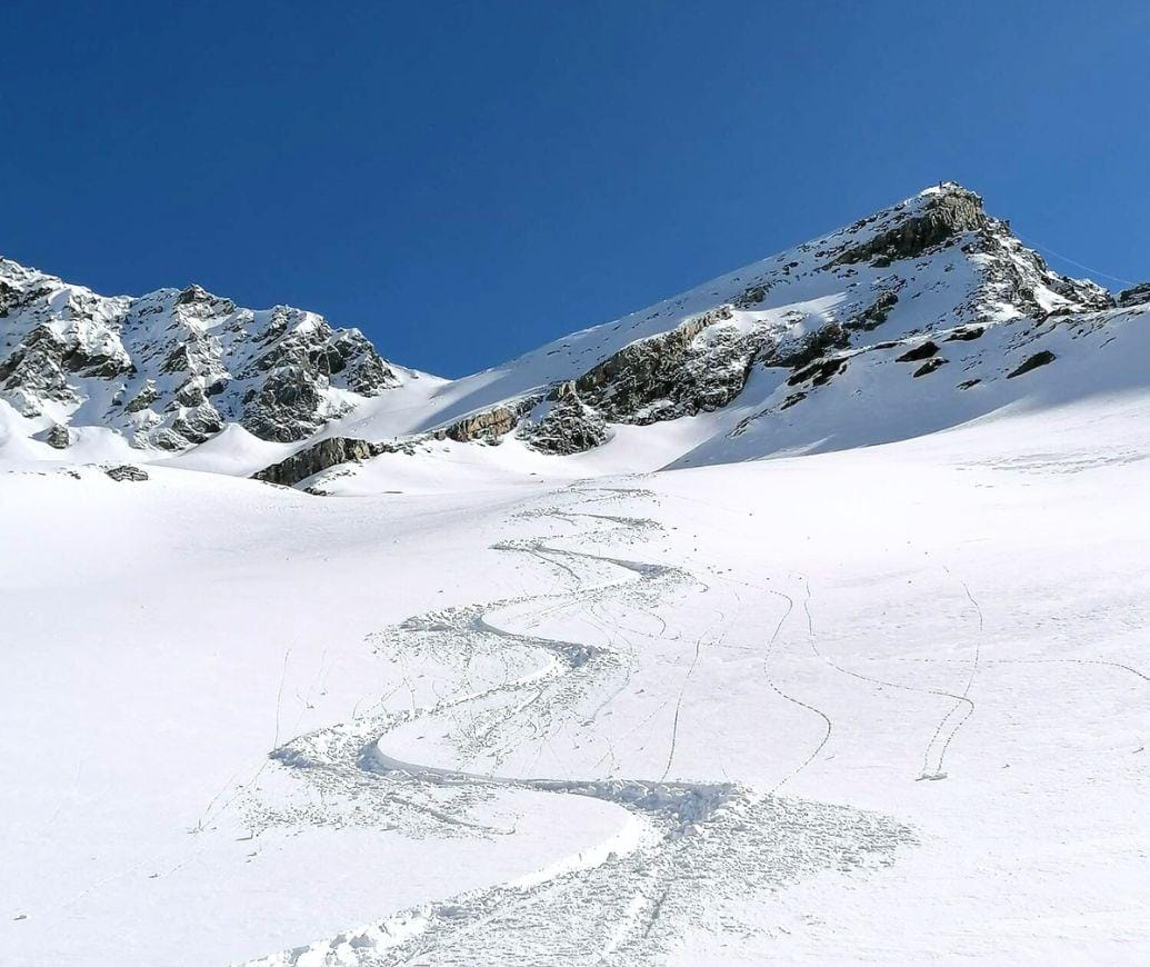
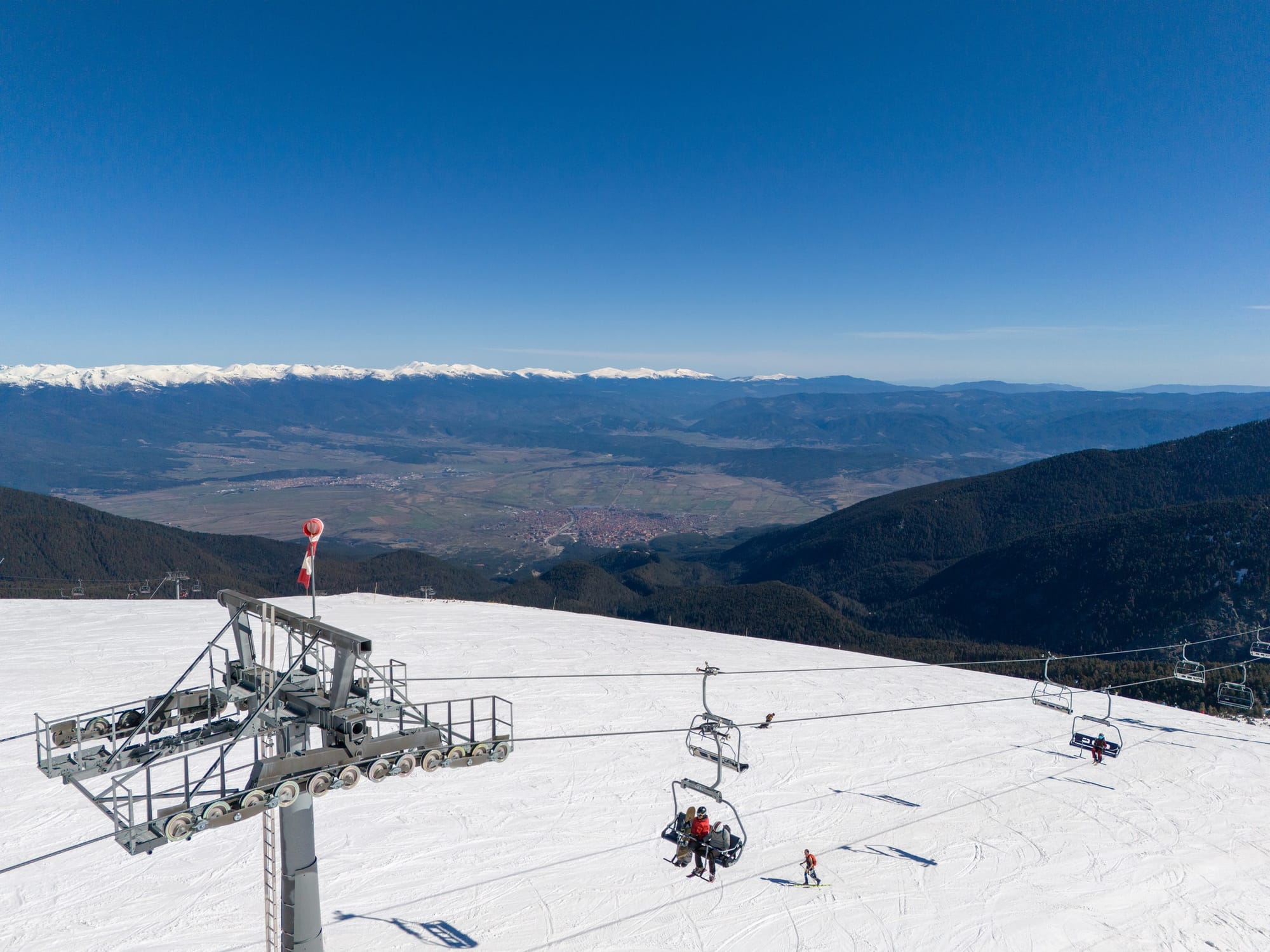
April is here, the month which sees around 95% of the Northern Hemisphere’s ski areas end their season and a few ‘spring-only’ resorts open for theirs as anticipation builds for the start of the 2024 season in the Southern Hemisphere. The first of Europe and North America’s big-name resorts ended their seasons already after the Easter weekend, though most will continue to the coming weekend or the one after, and hundreds of those stay open into the latter half of the month and some into May and June. Many will be closing as snow is falling, saying the drop-off in the number of skiers and boarders visiting doesn’t meet the costs of continuing operations later into the season. That’s certainly the case in the Alps and on the US West Coast where another big storm blew in this week. Some ski areas in the southern Alps saw over 2 meters (nearly 7 feet) of snowfall in 72 hours, whilst Californian areas reported a slightly more modest but still significant three feet (90cm) in three days over the weekend. New seasonal highs have been reached for the deepest snow in the world, with three areas in France and Switzerland now posting 5 meters or more. There was some strong to gale-force wind as well as the snow falling, though, which completely (or mostly) closed many areas for a time over the Easter weekend and pushed avalanche danger up to high. There's also been fresh snow, if in more modest accumulations, reported in other parts of the Alps, the Dolomites, Pyrenees, Eastern Europe and even in the Southern Hemisphere again ahead of the 2024 season; still two months away there. After Australia and New Zealand got snowfalls in March, this time it was the Andes.
EUROPE INTRO
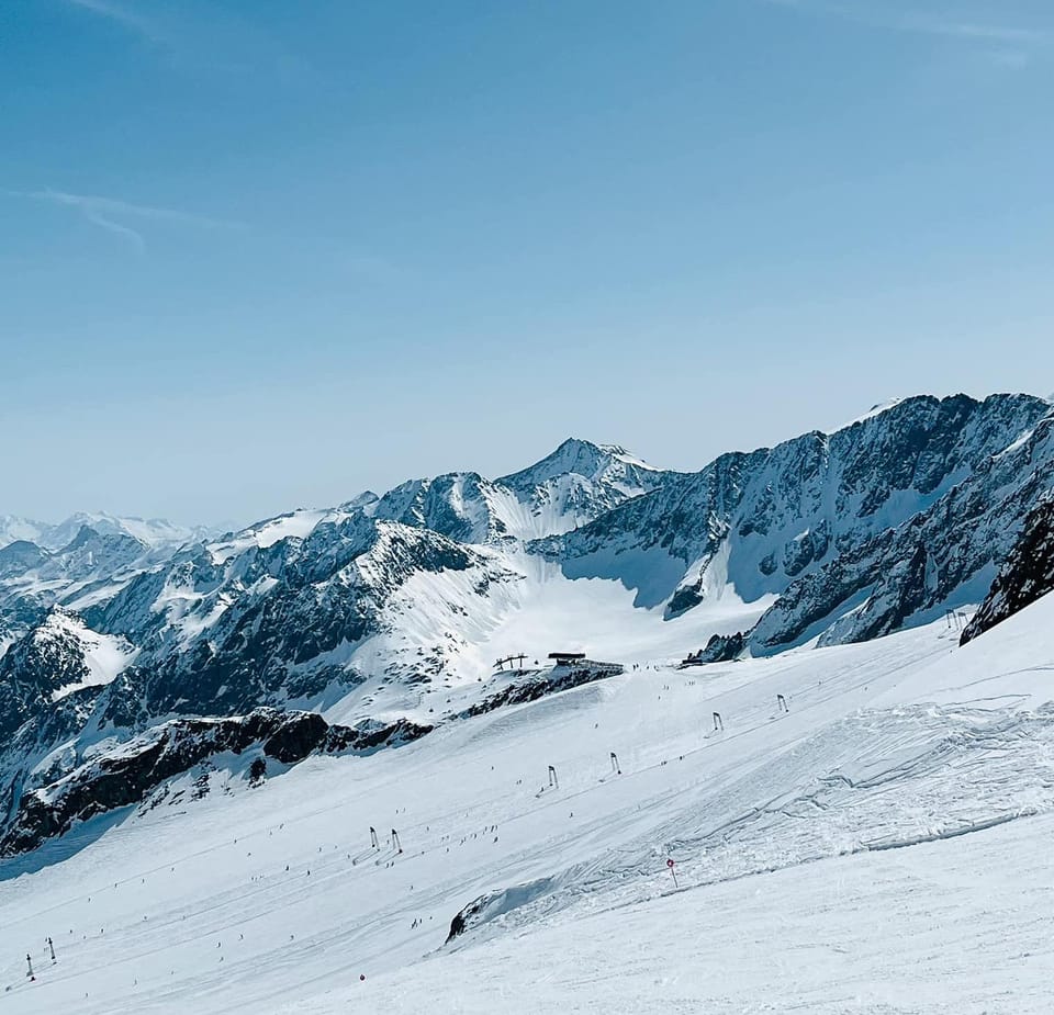
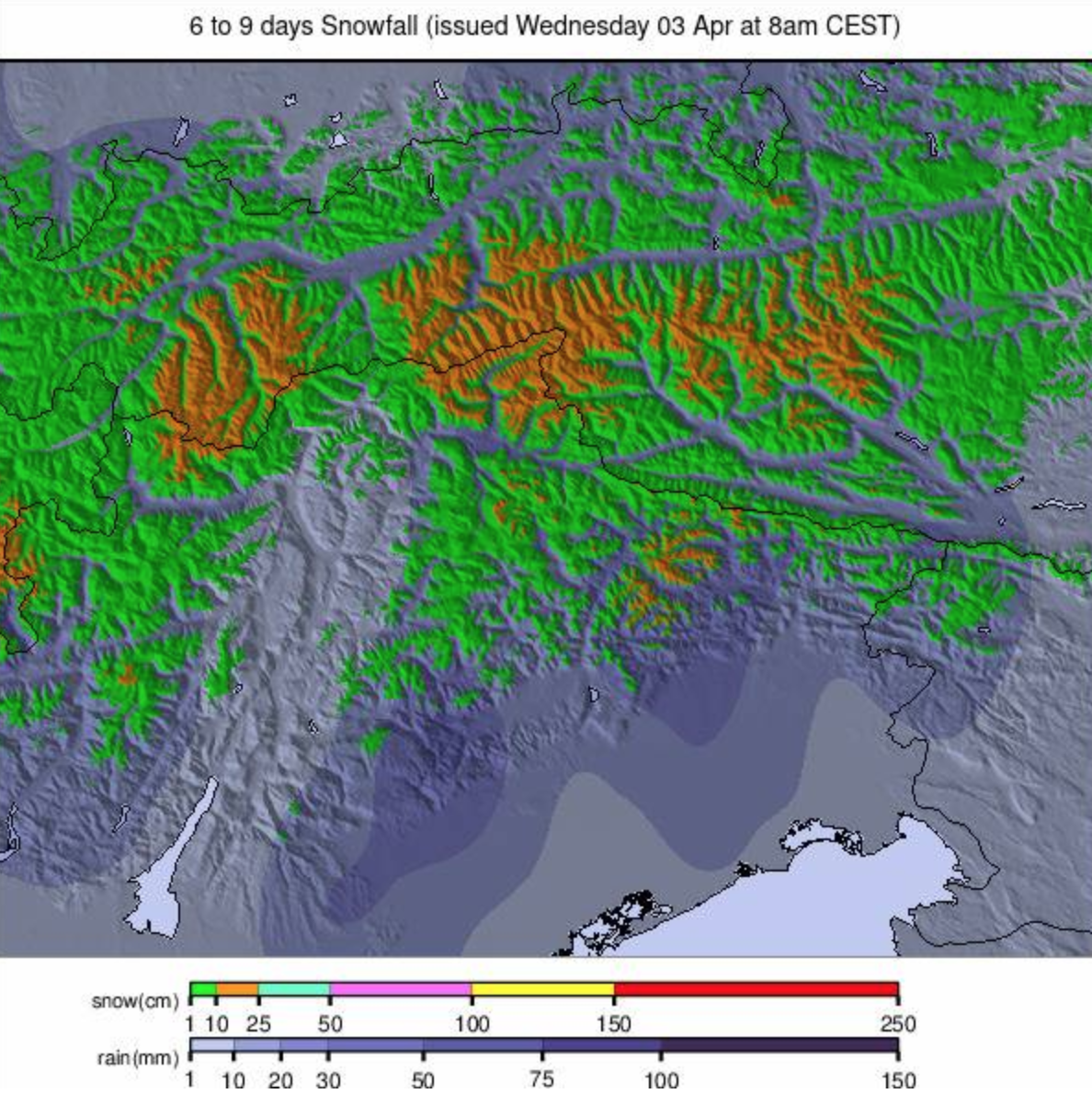
The biggest snow news of the last 7 days in Europe came in the southwest of the continent where very heavy snowfalls, particularly in the southern French Alps but also in parts of Italy and Switzerland, saw 72-hour accumulations of more than 2 meters reported by several areas, three now reporting that their upper slope base depths have topped 5 meters, a number not seen this season. All the snowfall was kind of good news but coupled with gale-force winds meant some areas had severely limited terrain open in the latter half of last week and into the Easter holidays, not great for those wanting to ski or board of course and for freeriders, things were still more challenging with the avalanche danger level jumping from 2 ("moderate") to 4 ("high") on the scale to 5 in the areas affected. Most of the rest of Europe had some more manageable fresh snowfalls on higher slopes as valley temperatures climbed up towards +20°C in more southerly alpine valleys. It's April so the season is starting to wind down at most. A few hundred resorts closed for the season after the Easter weekend and many more will do so this coming weekend or next.
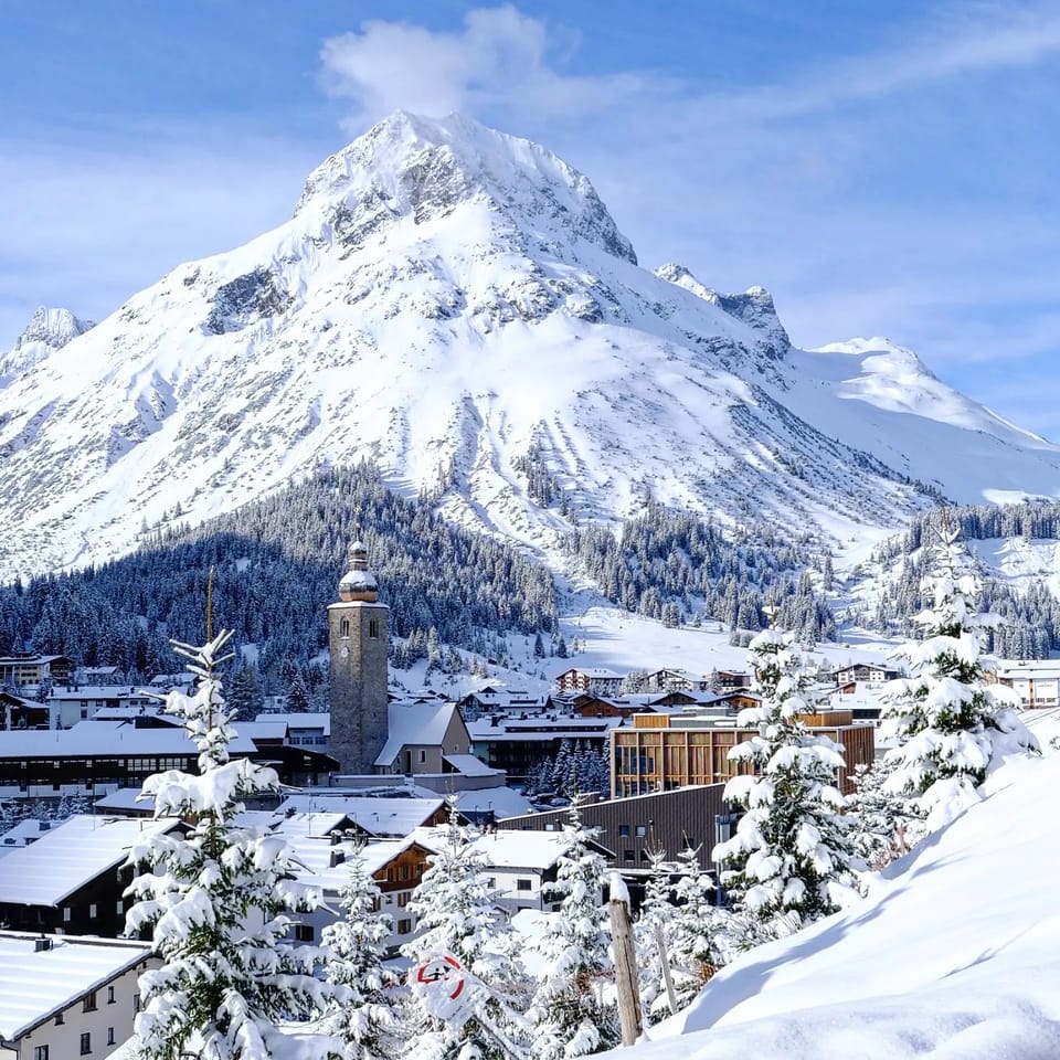
AUSTRIA REPORT
Austrian ski areas have seen rising temperatures again over the last week, although there have been some light snow showers on high slopes, with rain at lower elevations. However, most of the country missed out on the big snowfalls in the southeastern Alps at the end of last week. Solden (15/418cm / 6/167") posted one of the bigger accumulations on its higher slopes, getting 15cm (6") over the Easter weekend. Austria's lower altitude ski areas have already begun closing, including one of the country's three biggest areas, the Skiwelt (Soll, Westendorf, Ellmau et al), on Monday. Others like the giant Saalbach Hinterglemm area (20/85cm / 8/34”) will call it a day on their seasons this coming weekend. But most of Austria’s half-dozen glacier areas along with a couple of resorts with high altitude terrain, Ischgl (40/150cm / 16/60”) and Obertauern (100/170cm / 40/68”), plan to continue into May, or later.
AUSTRIA FORECAST
It’s expected to be increasingly warm, dry, and sunny towards the end of the week and a very sunny weekend ahead when valley temperatures at 1,000m altitude could hit +20°C. There’s no real precipitation forecast and any that does fall is likely to be rain to high elevations.
SWITZERLAND REPORT
Swiss ski centres enjoyed some decent snowfalls this week but also endured some gale-force winds, which closed lifts on many occasions through the weekend. Avalanche danger levels are currently high, and three people were killed in an off-piste avalanche at Zermatt at the weekend. Andermatt (30/300cm / 12/120”) was one of the big winners posting an 80cm (32”) accumulation over the weekend, but most Swiss resorts reported 30-50cm (12-20”). Laax (0/530cm / 0/212”) went briefly back to the top of the ‘world’s deepest snow depth’ table after the snowfall there. It’s now been overtaken by Saas-Fee (0/550cm / 0/220”). Most notable closures included Gstaad’s Glacier 3000 area, which was closed for much of last week and the vast 4 Valleys around Verbier , which was largely closed through the Easter weekend. Things have now started to calm down though with lighter winds and light snow showers, which are falling as rain at lower elevations as temperatures warm.
SWITZERLAND FORECAST
Light snow showers continue into Thursday but clear skies are forecast for most areas to end the week. Temperatures and the freezing point are climbing and are expected to be between 2000-3000m by the weekend.
FRANCE REPORT
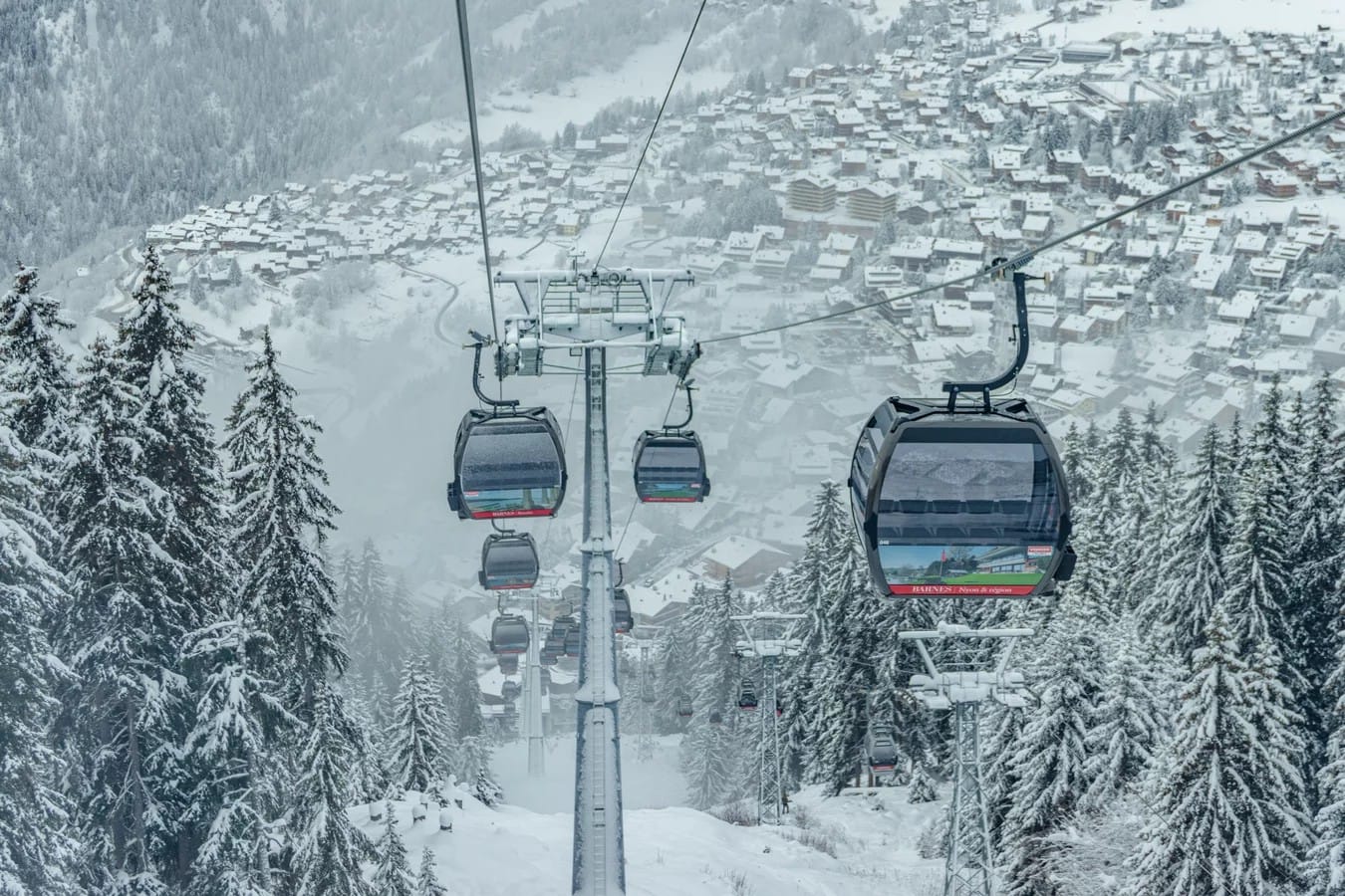
Snowfalls have continued through the Easter weekend and into the start of April across the French Alps, but the biggest came in the middle of last week when up to 60cm (2 feet) accumulations were reported in 24 hours in the southern Alps and up to 1.4 meters (nearly five feet) over the 48 hours into the weekend. By the time we reached the Easter weekend, a few ski areas including Southerly Isola 2000 and Risoul/Vars were claiming over 2 meters (6.66 feet) of snow had fallen in 72 hours, pushing the avalanche danger level from previously a moderate 2, to a widespread high 4 on the scale to 5 closing much of their slopes down. This was all obviously a big boost to base depths but not good news with Easter holiday crowds in resort and not needed at many areas where bases are among the deepest in the world this spring anyway. There was snowfall in the northern French Alps too but not the huge accumulations of further south, just more of a pleasant refresh. Most of France's big ski areas stay open to the latter half of the month and currently, the 3 Valleys report it still has 97% of its 600km (375 miles) of slopes open and all but three of its 150+ lifts operating.
FRANCE FORECAST
It currently looks like snow showers will ease, sunshine return, and temperatures rise in the latter half of the week, potentially getting to +20°C at 1,000m altitudes by Saturday and +5°C at 2000m.
ITALY REPORT
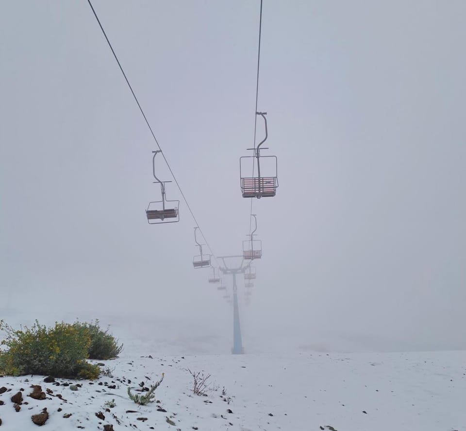
There were some big snowfalls in western Italy this week with resorts in the Aosta Valley reporting up to 1.2 meters (four feet) of snowfall in the latter half of last week into the Easter holidays. However, there were also gale-force winds at times, one of which hit a chairlift in the process of it being shut down due to the conditions at Cervinia (120/310cm / 48/124”) and video of the resulting bouncing chairs with skiers still on them made mainstream news across Europe and North America. It’s understood that no one was hurt. Cervinia also reported a meter (40”) of fresh snowfall and the snow continued on higher slopes over a wider area of Italian mountains. Livigno (81/172cm / 32/65”) posted repeat 15cm (6”) accumulations and Cortina d’Ampezzo over in the Dolomites towards Venice got 50cm (20”) through the latter half of last week.
ITALY FORECAST
A dry, sunny, and warm latter half of the week with temperatures climbing to +20°C in valleys below 1300m and getting well above freezing even at 2,500m altitudes.
GERMANY REPORT
Most German ski areas have now closed for the season. Only a dozen or so made it through to the Easter weekend, bolstered by late March snowfalls. Reit im Winkl was one of the bigger areas to close on Monday. Of the half-dozen still going to this weekend, two are currently planning to remain open through the month. The Zugspitze (145/322cm / 58/129”) is reporting the deepest snow although Oberstdorf’s Nebelhorn sector (10/230cm / 4/132”) also plans to keep some runs open through to May as well.
GERMANY FORECAST
Staying unsettled into Thursday with rain and sleet showers. Clearer weather in the week and through the weekend, with highs of +15°C at low elevations.
SCANDINAVIA REPORT
Scandinavia often has Europe’s best snow conditions in spring thanks to the northerly latitude keeping everything cooler for longer and so far April 2024 seems to be living up to expectations. Temperatures remain well below freezing day and night up in Finnish Lapland and as you come south, although we’re seeing daytime highs a few degrees above freezing, it’s mostly subzero stuff still and snowfall rather than rain keeping slopes fresh in Norway and Sweden too. Sweden’s Are (60/108cm / 24/43”) is 100% open giving it the largest area open in the region at more than 90km (57 miles).
SCANDINAVIA FORECAST
Cold and snowy in most regions through the end of the week and the weekend too. Plenty of snowfall, although light showers are likely to bring 5-10cm (2-4") accumulations daily.
SCOTLAND REPORT
Scotland appears to be nearing the end of its season with three centers left to declare their closing dates. The Lecht announced on Easter Sunday that Easter Monday would be its final day so it has joined Nevis range, which only managed to operate a few days this season. Glencoe, Glenshee, and Cairngorm remain open though, with Glencoe and Cairngorm posting the most terrain open, mostly on their upper mountains. It's been a mixed week with some stunning, still, blue sky days, but others with low clouds, strong winds, rain, and sleet down low and snow on higher slopes. Glenshee is still running lifts serving 3-4 shortish runs maintained by their all-weather snowmaking equipment.
SCOTLAND FORECAST
As usual for the Scottish Highlands, the forecast is very mixed and likely to change at short notice, but we're seeing mountain temperatures into the -3 to +5°C range for the next seven days, plenty of precipitation and the likelihood of snow on higher runs, sleet and rain at lower elevations.
SPAIN / ANDORRA REPORT
A good Easter weekend in the Pyrenees with temperatures dropping back and many areas reporting 10-15cm (4-6") snowfalls daily plus bumper crowds for an end-of-season boost. Most ski centers that remain open in the region, including Spain's biggest, Baqueira Beret (55/115cm / 22/46”), and much of the region’s biggest, Andorra’s Grandvalira (70/180cm / 28/72”), plan to end their seasons this weekend, but a few will continue for one more week through to the 14th. For now though, they have 110km (69 miles) and 150km (93 miles) of slopes open respectively.
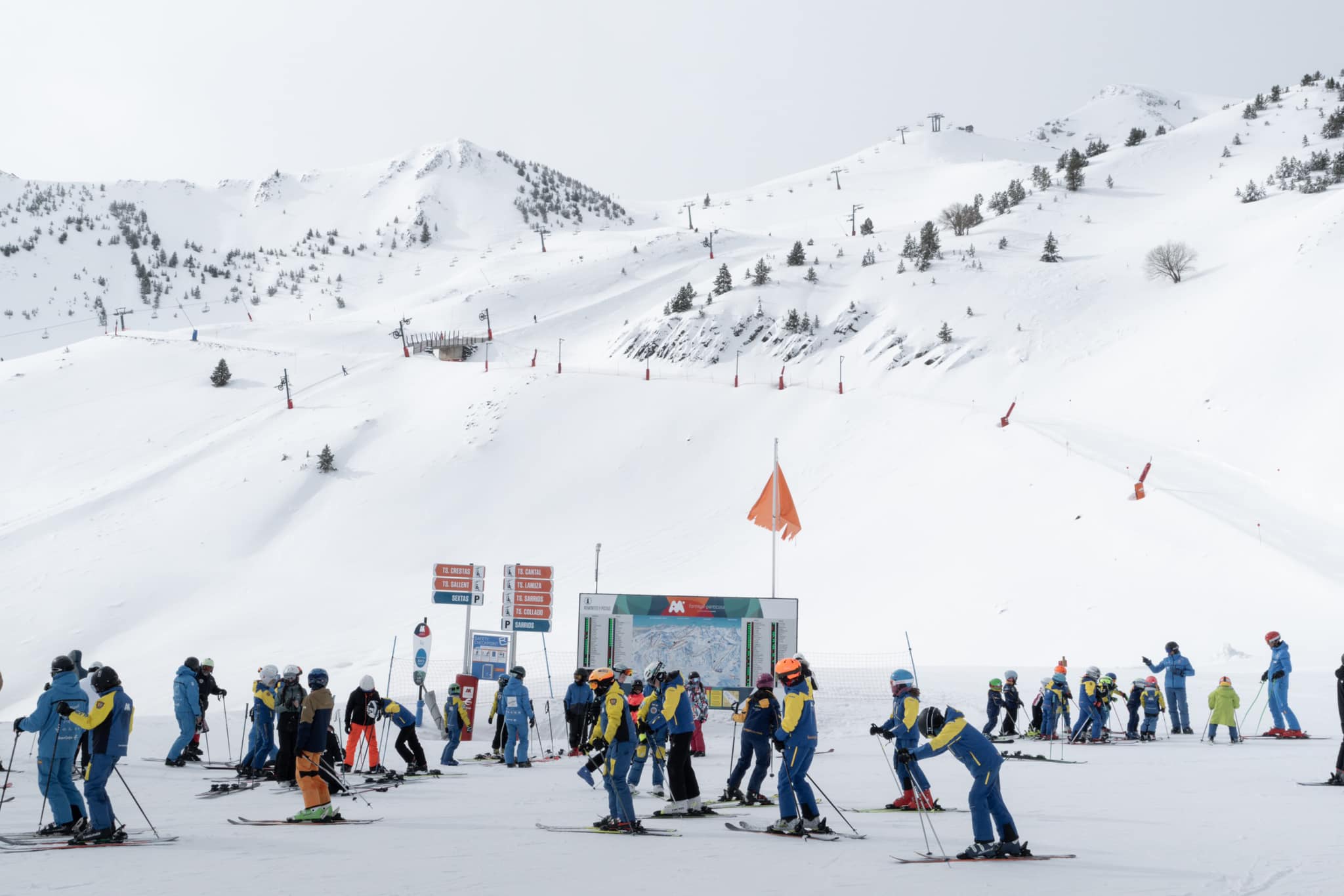
SPAIN / ANDORRA FORECAST
After the weekend snowfall, it has turned much warmer, drier, and sunnier and that’s expected to continue for the rest of this week with resort-level highs getting up to around +15°C in the afternoons, +10°C at the top of the slopes.
BULGARIA / ROMANIA REPORT
We’re into the final fortnight of the season for most ski areas in the region, with the majority of the bigger resorts that are still open set to close the weekend after next. It definitely feels like the end of the season is near with mostly sunny weather and valley highs touching +20°C and even high peaks seeing +10°C and just about getting below freezing by a degree or two in the small hours of the night. Vitosha (15/30cm / 6/12”) was struggling the most to stay open to that date with its thin cover and was closed by high winds for a time anyway this week before deciding to give up altogether with the warm temperatures. Borovets also announced on Monday that it would end its season 48 hours later, on the 3rd, blaming warm weather. Pamporovo also closed at short notice on the 3rd too. Up to then, most centers still had 50-60% of their slopes open with still-open Bansko (5/125cm / 2/50”) posting the deepest surviving base and noting that they have cut their prices for the final fortnight of the season.
BULGARIA / ROMANIA FORECAST
Sun, sun, sun for the coming week, daytime highs of +16°C in the afternoon at resort level and getting up towards +10°C on higher slopes too, so rapid melting of the snowpack continuing.
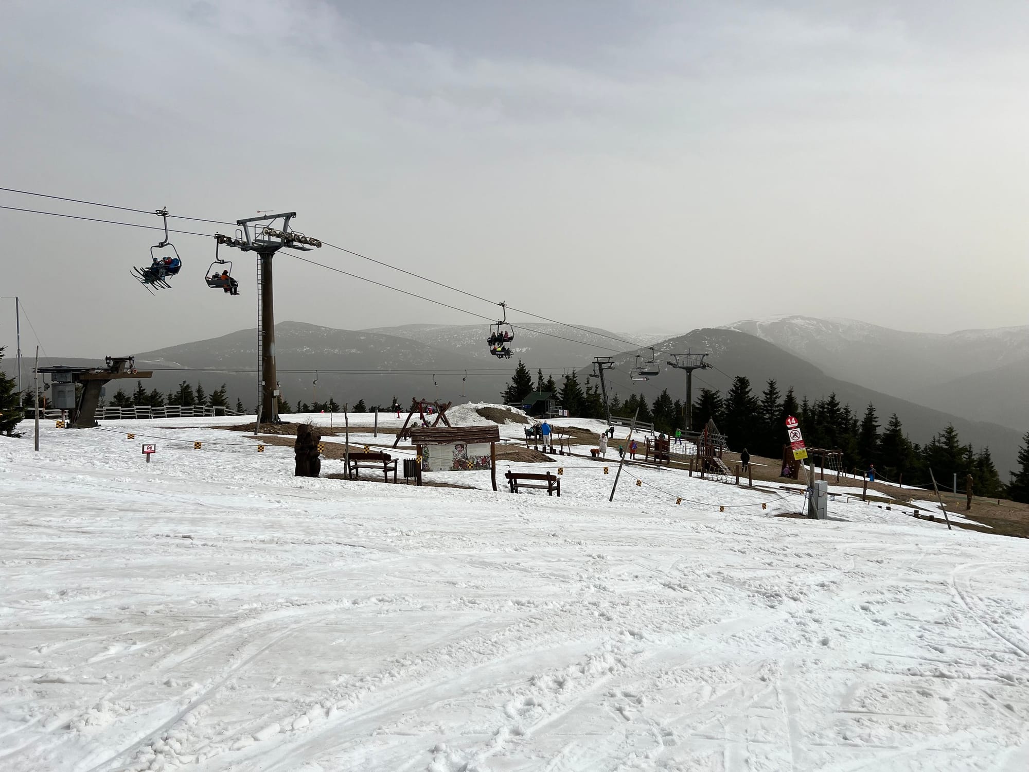
CZECH REPUBLIC / SLOVAKIA REPORT
We’re into the final week or two of the season for most of the few ski areas still open in the Czech and Slovak Republics. In the Czech Republic, it's actually only Špindlerův Mlýn (15/30 / 6/12”) still going with just a few runs still open and what it describes as “wet snow” conditions. Five ski areas are open in Slovakia by contrast, most planning to stay open to mid-April and Jasna (30/6900cm / 12/24”) is hoping to maintain slope coverage on its upper runs to early May. It’s currently down to just under half its slopes open.
CZECH REPUBLIC / SLOVAKIA FORECAST
Cooler weather at present, with temperatures still getting below freezing overnight at all levels will give way to much warmer temperatures, with afternoon highs of +10°C even at the top of the slopes by the weekend. Some light precipitation may fall as sleet or snow at times but, realistically, rainfall is more likely.