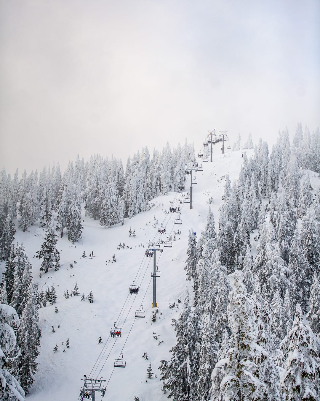
North America Weekly Roundup #235
(Updated 3 April 2024) A comprehensive review of snow conditions, weather, and updates for North America's winter sports destinations.
NORTH AMERICA INTRO
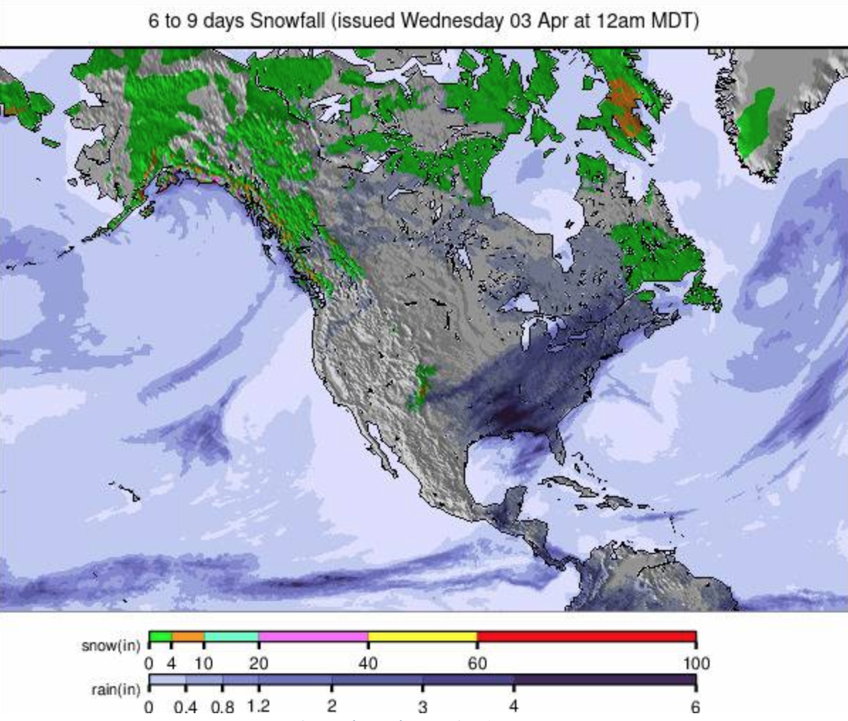
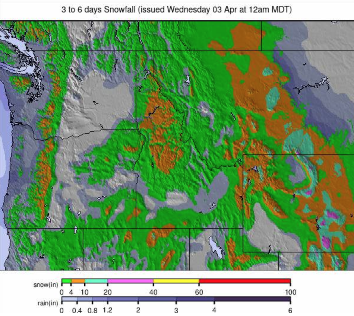
The season is starting to wind down across North America with most of the continent’s ski areas closing over the next three weekends, although several dozen currently plan to continue through to the end of the month or even into May, and that list is growing as more extend their seasons thanks to recent snowfalls. The latest of these have been heaviest in the southwest of the continent over the past seven days, with accumulations of several feet reported in the Rockies of Colorado and Utah, and three feet or more in California. Moving further out there's been snowfall too, but closer to a foot.
ROCKIES REPORT
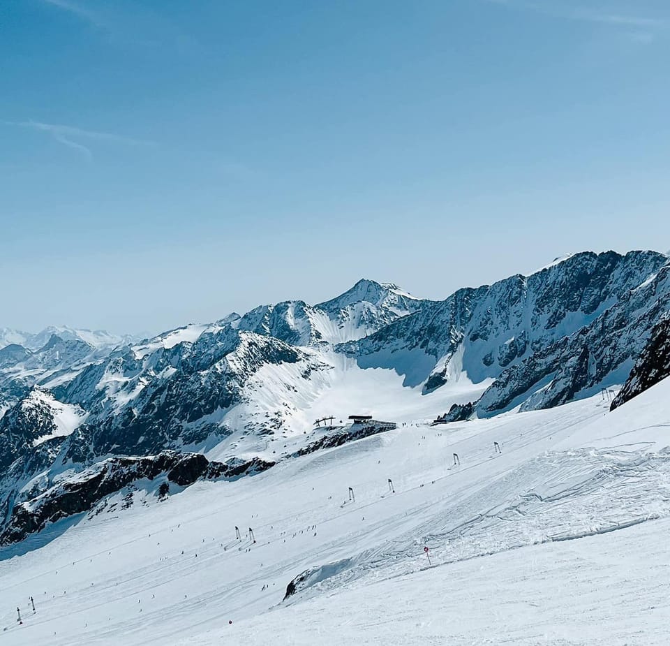
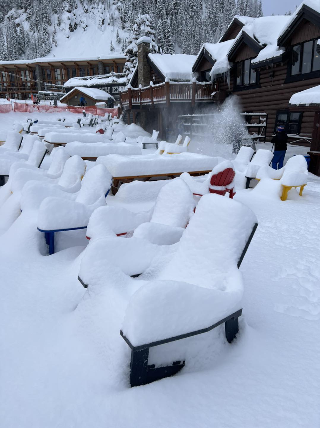
The Rockies posted some of the biggest snowfalls of the past seven days through the Easter weekend with Colorado and Utah ski areas getting several feet of snowfall in some cases. America’s biggest resort Park City Mountain Resort (120/120” / 300/300cm) was one of those claiming a big total, as did its Park City neighbor Deer Valley (110”/110” / 275cm/275cm) which reported 25” (62cm) and a powder day on Easter Sunday. In Colorado, Aspen (61/94” / 152/236cm) posted one of the bigger 48-hour totals – 17” (38cm). It’s turned sunnier since the start of April on Easter Monday with temperatures starting to warm up a lot too so spring has sprung.
ROCKIES FORECAST
The warm, sunny weather in the Rockies at present is expected to continue on through the rest of this week in most areas, but a fresh front moving in around the weekend should bring fresh snowfall to higher slopes with rain at lower elevations.
USA WEST REPORT
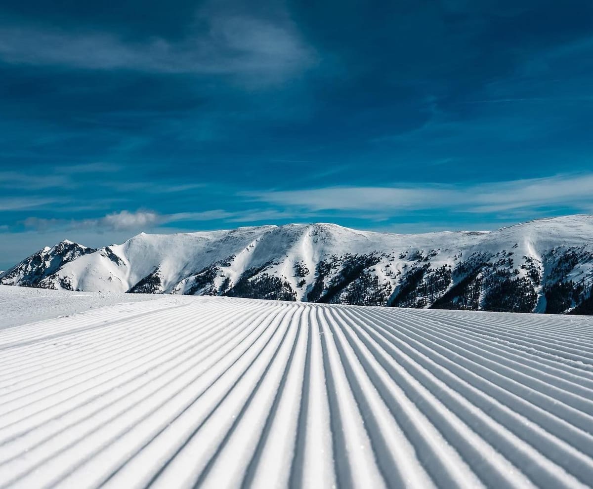
The latest forecast multi-day storm hitting the US West Coast saw some centers post five feet (1.45m) snowfall totals on their higher slopes over the four-five days it continued around the Easter weekend. Among the big winners, The Palisades (47/162" / 118/406cm) reported the snowfall meant it had hit its seasonal average of 400" (10 meters) of snowfall thanks to 13 feet (nearly 4 meters) of March snowfall. With the poor first half of the season in western North America that hadn't looked likely two months ago, and with its season extended to late May now, there's still nearly two months more of the season left to run. Mammoth Mountain (123/187" / 309/467"), to the south, also did well posting three feet of snowfall over three days up to Easter Sunday taking its current base into the world's top 5 for the start of April. We've had a dry few days to start April with sunshine returning and daytime highs in the mid-40s on lower runs.
USA WEST FORECAST
After the currently warm spell ends around Thursday, a fresh front is expected to move in to end the week bringing probably lighter snowfall than recent storms but still a good daily 2-6” (5-15cm) refresh of higher slope cover.
MIDWEST REPORT
The 23-24 season, one of the warmest on record, is pretty much over in the Midwest, but the region did enjoy what seems likely to be a final hurrah, with a record late March snowfall for part of the area. Minnesota saw near-record snowfall last week and there was a decent dump in parts of Wisconsin, Michigan, and other neighboring states too. As a resort Wisconsin’s Trollhaugen, which was one of the first resorts to open in North America last autumn but had closed a week previously due to the warm temperatures, reopened for a bonus few days in the latter half of last week. Michigan’s Mt Bohemia and Wild Mountain in Minnesota were among the others to reopen.
MIDWEST FORECAST
Plenty of sunshine with temperatures climbing to the high 40s in the afternoons. Not much precipitation forecast but what there is is likely to be rain, not snow.
USA EAST REPORT
A largely dry week in the east with mostly overcast skies and the occasional sunny spells. Temperatures did not rise quite as much as feared but nonetheless got well above freezing at all levels in the afternoons, with daytime peaks in the high 40s down at the resort base level. Killington (8/19” / 20/48cm) is finally posting a slightly improved base and the most terrain open in the region, about 82% of its vast area. Fellow Vermont area Smugglers Notch (14/40” / 35/101cm) has the region’s deepest lying snow. Most ski areas in New Hampshire are now closed leaving just a dozen still operating in Maine, Vermont, and New York State into next week.
USA EAST FORECAST
It is expected to be colder with a front moving in for the last few days of this week. Higher slopes should see snowfall but it will be rain and sleet on lower runs.
CANADA
CANADA WEST REPORT
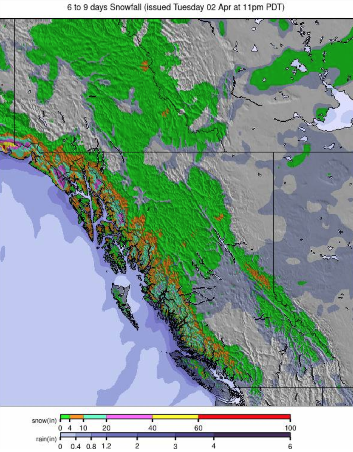
Some good snowfalls and excellent powder conditions were reported through the Easter weekend in the Canadian Rockies. Lake Louise posted 20cm (8") of fresh for the Easter weekend, nearby Sunshine a full foot (30cm). Both remain open into May. Over on the Pacific Coast Whistler Blackcomb remains fully open but it’s been drier here with not much snowfall to report. Daytime highs have reached +16°C in resort but it has still been dropping below freezing overnight even at low levels for classic freeze-thaw spring conditions.
CANADA WEST FORECAST
Mixed conditions with overnight lows on highs slopes down to -10°C then daytime highs at resort bases up to +10°C. Mostly dry conditions but with some showers expected, which will be snow, sleet or rain depending on altitude and time of day they arrive.
CANADA EAST REPORT
It has not been as warm as feared in eastern Canada over the last seven days but still warm, enough with little or no fresh snowfall reported after the good falls last week. Tremblant (0/140cm / 0/56") continues to post the deepest snow lying up high and the most terrain open – down to about two-thirds of its full area. Most of the bigger resorts in the region will stay open to at least the 14th, although Stoneham (55/75cm/ 22/30”) is expected to close at the end of the coming weekend.
CANADA EAST FORECAST
Remaining cold with temperatures below freezing at all levels, day and night, until Thursday, with snow showers likely too. Warmer and sunnier into the weekend when highs of +10°C are forecast.