
Ski Hire by Intersport
CODE: FORECASTSKI

Ax 3 Domaines Weather (Next 3 days): The snow forecast for Ax 3 Domaines is: Moderate rain (total 14.0mm), heaviest on Mon morning. Freeze-thaw conditions (max 11°C on Sun afternoon, min 0°C on Mon night). Wind will be generally light.
Ax 3 Domaines Weather (Days 4-6): A light covering of new snow, mostly falling on Tue night. Becoming milder with light rain (total 6.0mm) on Wed night. Freeze-thaw conditions (max 8°C on Thu afternoon, min 0°C on Tue morning). Wind will be generally light.
| Resort | Snow Depth | Temp. (°C) | Wind (km/h) | Weather | ||
|---|---|---|---|---|---|---|
| Top Lift: | 0.0 m | 4 | ||||
| Middle Lift: | 8 | |||||
| Bottom Lift: | 0.0 m | 11 |
Latest snow reports near Ax 3 Domaines:
Light rain reported from Cereja wx at 1307 metres elevation 8 kms SSW of Font Romeu but it is forecast cold enough for snow at higher elevations in the ski area from Font Romeu

Saturday 4 | Sunday 5 | Monday 6 | Tuesday 7 | Wednesday 8 | Thursday 9 | Friday 10 | |||||||||||||||
AM | PM | night | AM | PM | night | AM | PM | night | AM | PM | night | AM | PM | night | AM | PM | night | AM | PM | night | |
some clouds | rain shwrs | rain shwrs | clear | rain shwrs | light rain | light rain | light rain | snow shwrs | some clouds | snow shwrs | light snow | some clouds | light rain | rain shwrs | clear | some clouds | clear | clear | clear | clear | |
km/h | |||||||||||||||||||||
Snow map |  |  |  |  |  |  |  | ||||||||||||||
— | — | — | — | — | — | — | — | 1.0 | — | 1.0 | 5 | — | — | — | — | — | — | — | — | — | |
— | 1.0 | 1.0 | — | 2.0 | 4 | 2.0 | 4 | — | — | 1.0 | — | — | 2.0 | 3 | — | — | — | — | — | — | |
max°C | 8 | 9 | 8 | 10 | 11 | 9 | 5 | 3 | 2 | 1 | 3 | 1 | 2 | 4 | 4 | 6 | 8 | 7 | 10 | 12 | 10 |
min°C | 4 | 8 | 6 | 7 | 11 | 6 | 5 | 3 | 0 | 0 | 2 | 1 | 1 | 4 | 3 | 3 | 8 | 6 | 7 | 12 | 8 |
2 | 8 | 4 | 5 | 9 | 4 | 4 | 2 | -4 | -4 | -3 | -4 | -3 | 0 | -1 | 1 | 7 | 5 | 6 | 12 | 7 | |
60 | 77 | 82 | 65 | 57 | 89 | 94 | 97 | 89 | 79 | 91 | 94 | 88 | 90 | 76 | 66 | 63 | 56 | 33 | 35 | 49 | |
3050 | 3100 | 3000 | 3050 | 3100 | 2900 | 2700 | 2450 | 2000 | 2050 | 2200 | 2050 | 2300 | 2500 | 2550 | 2800 | 3000 | 3300 | 3300 | 3500 | 3700 | |
6:41 | — | — | 6:41 | — | — | 6:39 | — | — | 6:37 | — | — | 6:37 | — | — | 6:35 | — | — | 6:35 | — | — | |
— | — | 8:55 | — | — | 8:57 | — | — | 8:59 | — | — | 9:00 | — | — | 9:00 | — | — | 9:01 | — | — | 9:02 | |
Moderate rain (total 14.0mm), heaviest on Mon morning. Freeze-thaw conditions (max 11°C on Sun afternoon, min 0°C on Mon night). Wind will be generally light.
A light covering of new snow, mostly falling on Tue night. Becoming milder with light rain (total 6.0mm) on Wed night. Freeze-thaw conditions (max 8°C on Thu afternoon, min 0°C on Tue morning). Wind will be generally light.
Latest snow reports near Ax 3 Domaines:
Light rain reported from Cereja wx at 1307 metres elevation 8 kms SSW of Font Romeu but it is forecast cold enough for snow at higher elevations in the ski area from Font Romeu
| Top snow depth: | 0 cm |
|---|---|
| Bottom snow depth: | 0 cm |
| Fresh snowfall depth: | — |
| Last snowfall: | 2 May 2024 |
| Snow Alerts | Create Alert |
0.3 | Bluebird Powder days Fresh snow, mostly sunny, light wind. |
|---|---|
0.2 | Powder days Fresh snow, limited sun, any wind. |
0.0 | Bluebird days Average snow, mostly sunny, light wind. |
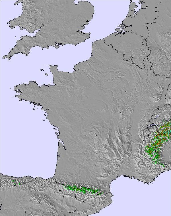
The above table gives the weather forecast for Ax 3 Domaines at the specific elevation of 1900 m. Our sophisticated weather models allow us to provide snow forecasts for the top, middle and bottom ski stations of Ax 3 Domaines. To access the weather forecasts for the other elevations, use the tab navigation above the table. For a wider view of the weather, check out the Weather Map of France.
Click here to read further information on freezing levels and how we forecast our temperatures.
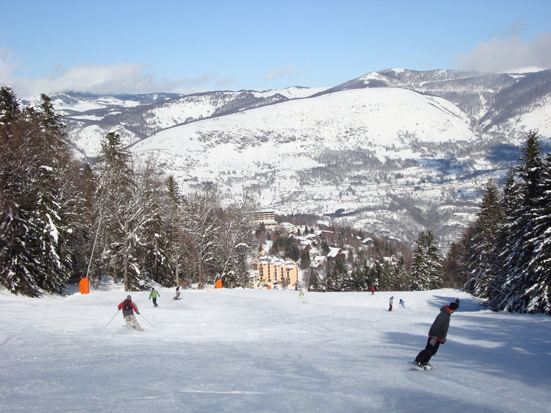
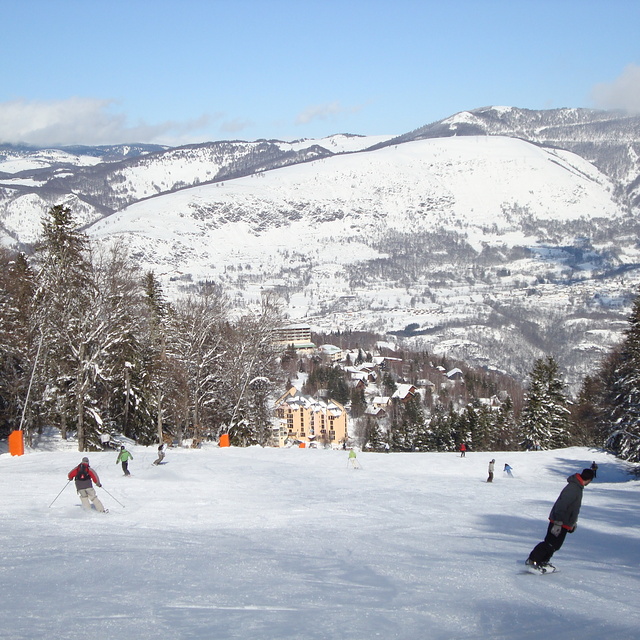
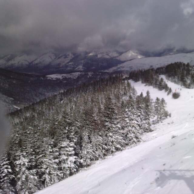
Resort name is also written as Ax-les-Thermes.
Overall 3.9 Based on 11 votes and 12 reviews
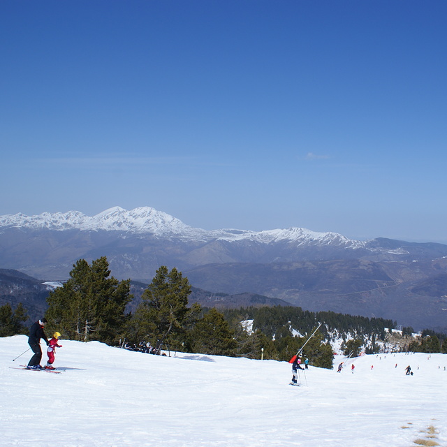
I have been taking my family to Ax for 6 years now. It is a lovely ancient thermal spa town in the Pyrenees with bags of history and a ski resort above the town. There is a great market twice a week; lots of small independent shops and restaurants and plenty of characterful places to stay. The resort itself is compact and very family-friendly, but still has 75km of pistes to suit all ages and abilities. It is less chi-chi than the alps, less banging than Andorra, and cheaper than both in terms of lift passes and ski hire. If you avoid French school holidays it isn't very crowded either. There are pistes up to 2400m and plenty of snow cannons as well, so the conditions are generally good. There are also lots of other great winter sports activities available, such as: dog sledding, Nordic skiing, ski-joering, snow trekking, ice climbing, sledging, & snow biking. Just a quick note regarding an older review: there is a now a bypass around the town that takes out the through-traffic on its way to Andorra, so the town centre is much quieter and easy to navigate even in high season. There is a Park & Ride scheme that operates between the railway station and the ski resort, and there are navettes (minibuses) that run between several of the outlying villages and the resort. There is also extensive (free) parking at the resort itself.
David from France writes:
I have been taking my family to Ax for 6 years now. It is a lovely ancient thermal spa town in the Pyrenees with bags of history and a ski resort above the town. There is a great market twice a week; lots of small independent shops and restaurants and plenty of characterful places to stay. The resort itself is compact and very family-friendly, but still has 75km of pistes to suit all ages and abilities. It is less chi-chi than the alps, less banging than Andorra, and cheaper than both in terms of lift passes and ski hire. If you avoid French school holidays it isn't very crowded either. There are pistes up to 2400m and plenty of snow cannons as well, so the conditions are generally good. There are also lots of other great winter sports activities available, such as: dog sledding, Nordic skiing, ski-joering, snow trekking, ice climbing, sledging, & snow biking.
Just a quick note regarding an older review: there is a now a bypass around the town that takes out the through-traffic on its way to Andorra, so the town centre is much quieter and easy to navigate even in high season. There is a Park & Ride scheme that operates between the railway station and the ski resort, and there are navettes (minibuses) that run between several of the outlying villages and the resort. There is also extensive (free) parking at the resort itself.
The Ax 3 Domaines skiing weather widget is available to embed on external websites free of charge. It provides a daily summary of our Ax 3 Domaines snow forecast and current weather conditions. Simply go to the feed configuration page and follow the 3 simple steps to grab the custom html code snippet and paste it into your own site. You can choose the snow forecast elevation (summit, mid-mountain or bottom lift) and metric/imperial units for the snow forecast feed to suit your own website…. Click here to get the code.
View detailed snow forecast for Ax 3 Domaines at:
snow-forecast.com


 Nearest