


View forecast
Caviahue at 1846 m altitude
Issued by Snow-Forecast.com at: 8 am (local time) / 04 May 2024
Now
Saturday 4 | Sunday 5 | Monday 6 | Tuesday 7 | Wednesday 8 | Thursday 9 | Friday 10 | |||||||||||||||
AM | PM | night | AM | PM | night | AM | PM | night | AM | PM | night | AM | PM | night | AM | PM | night | AM | PM | night | |
light snow | light snow | snow shwrs | light snow | snow shwrs | snow shwrs | snow shwrs | clear | snow shwrs | heavy snow | light snow | mod. snow | light snow | snow shwrs | some clouds | clear | some clouds | cloudy | cloudy | snow shwrs | snow shwrs | |
km/h | |||||||||||||||||||||
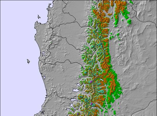
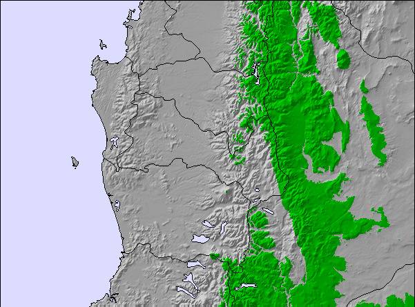
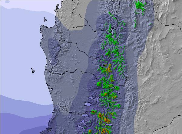
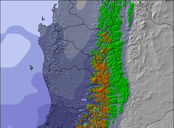
Snow map | 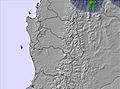 | 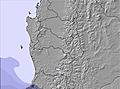 | 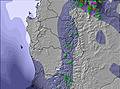 | 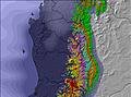 | 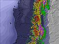 | 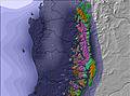 |  | ||||||||||||||
2.0 | 2.0 | 7 | 2.0 | 1.0 | 2.0 | — | — | 7 | 12 | 3 | 7 | 2.0 | — | — | — | — | — | — | — | — | |
— | — | — | — | — | — | — | — | — | — | — | — | — | — | — | — | — | — | — | — | — | |
max°C | -2 | -2 | -3 | -2 | -1 | -3 | -2 | -1 | -3 | -3 | -4 | -5 | -3 | -3 | -4 | 1 | 1 | -2 | 0 | -1 | -6 |
min°C | -2 | -2 | -4 | -3 | -2 | -4 | -4 | -1 | -4 | -3 | -5 | -6 | -4 | -3 | -6 | -3 | 0 | -3 | -2 | -4 | -7 |
-10 | -10 | -11 | -10 | -8 | -11 | -12 | -8 | -12 | -8 | -11 | -13 | -12 | -10 | -12 | -8 | -5 | -8 | -7 | -10 | -14 | |
93 | 95 | 94 | 92 | 92 | 91 | 86 | 78 | 83 | 97 | 90 | 95 | 88 | 80 | 81 | 43 | 73 | 53 | 61 | 83 | 87 | |
1600 | 1550 | 1300 | 1250 | 1650 | 1250 | 1100 | 1700 | 1050 | 1300 | 1350 | 850 | 1150 | 1400 | 600 | 950 | 2150 | 1300 | 1300 | 1600 | 700 | |
8:27 | — | — | 8:29 | — | — | 8:30 | — | — | 8:30 | — | — | 8:32 | — | — | 8:33 | — | — | 8:33 | — | — | |
— | 6:52 | — | — | 6:51 | — | — | 6:50 | — | — | 6:49 | — | — | 6:47 | — | — | 6:46 | — | — | 6:45 | — | |
Next 0-3 days weather summary:
A heavy fall of snow, heaviest during Mon night. Temperatures will be below freezing (max -1°C on Sun afternoon, min -4°C on Sat night). Winds decreasing (strong winds from the WNW on Sat morning, light winds from the NW by Mon night).
Next 4-6 days weather summary:
A heavy fall of snow, heaviest during Tue morning. Freeze-thaw conditions (max 1°C on Thu morning, min -6°C on Tue night). Winds increasing (light winds from the WNW on Tue afternoon, fresh winds from the W by Tue night).
Popular Caviahue Pages
Snow Radar
Submit a reportLatest snow reports near Caviahue:
- 12 hours ago

Snow falling in Caviahue. from Caviahue
Caviahue Snow Conditions
| Top snow depth: | 0 cm |
|---|---|
| Bottom snow depth: | 0 cm |
| Fresh snowfall depth: | 26 cm |
| Last snowfall: | 3 May 2024 |
| Snow Alerts | Create Alert |
Other resorts in Argentina are reporting: powder (0) / good piste (0)
Snow-Forecast Partner Offers
Show your business here
Snow History
Week 1 of May has on average:
0.0 | Bluebird Powder days Fresh snow, mostly sunny, light wind. |
|---|---|
0.0 | Powder days Fresh snow, limited sun, any wind. |
0.0 | Bluebird days Average snow, mostly sunny, light wind. |

Caviahue Forecast Snowfall
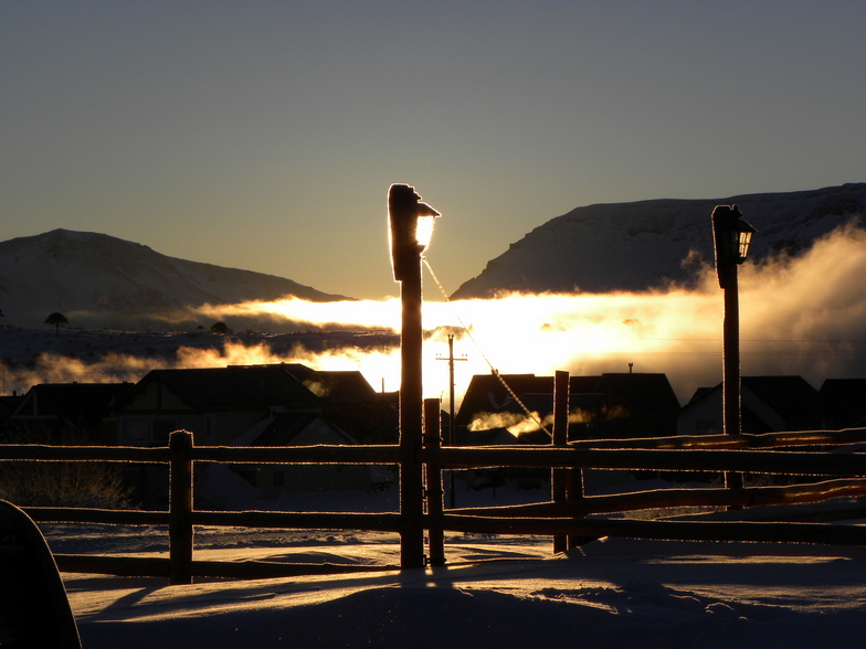
Photos of Caviahue
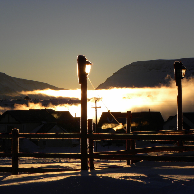
Atardecer by Mariano
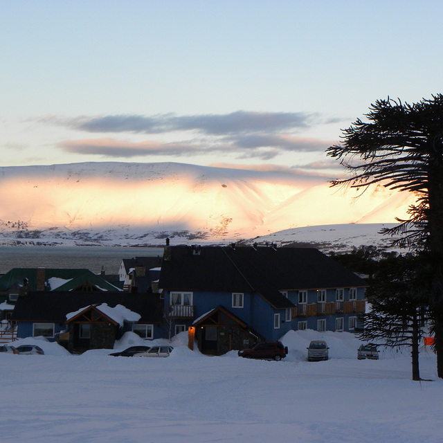
Un pueblo soñado by Mariano
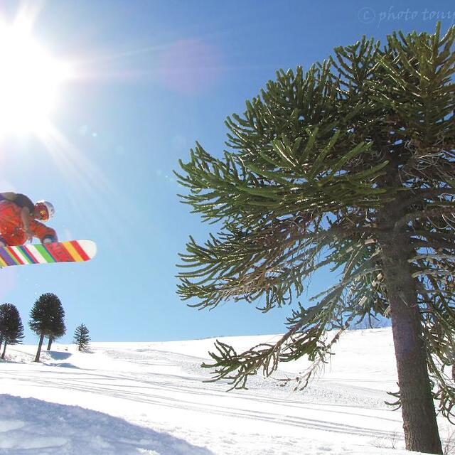
Caviahue, Neuquen, Argentina by TONY HUGLICH
Other resorts in Argentina are reporting: powder (0) / good piste (0)
The above table gives the weather forecast for Caviahue at the specific elevation of 1846 m. Our sophisticated weather models allow us to provide snow forecasts for the top, middle and bottom ski stations of Caviahue. To access the weather forecasts for the other elevations, use the tab navigation above the table. For a wider view of the weather, check out the Weather Map of Argentina.
Click here to read further information on freezing levels and how we forecast our temperatures.
Visitor Reviews of Caviahue
Overall 3.6 Based on 57 votes and 158 reviews
- Snowsure
- Variety of pistes
- Vote
- Patricio Daly from Argentina writes:
La montana y el pueblo muy lindos. En cuanto al centro de ski esta muy mal gestionado, fui en la primera semana de agosto el lugar estaba con la nieve justa y comenzaban a aparecer piedras y tierra en la pista. No habia gente que se ocupara de recorrer la pista para marcar obstaculos o sacarlos, por ahi aparecia un empleado y con una pala tiraba un poco de nieve. Los canones no andaban. En cuanto a los paradores caros y con pocas opciones, los medios se ven abandonados no me dio ninguna seguridad , un par de veces se pararon por 15 minutos. No volveria , los empleados muy buenos pero el gerenciamiento mediocre.
Visitor Reviews of Caviahue
Patricio Daly from Argentina writes:
La montana y el pueblo muy lindos. En cuanto al centro de ski esta muy mal gestionado, fui en la primera semana de agosto el lugar estaba con la nieve justa y comenzaban a aparecer piedras y tierra en la pista. No habia gente que se ocupara de recorrer la pista para marcar obstaculos o sacarlos, por ahi aparecia un empleado y con una pala tiraba un poco de nieve. Los canones no andaban.
En cuanto a los paradores caros y con pocas opciones, los medios se ven abandonados no me dio ninguna seguridad , un par de veces se pararon por 15 minutos.
No volveria , los empleados muy buenos pero el gerenciamiento mediocre.
Free Snow-Forecast.com weather widget for your website
The Caviahue skiing weather widget is available to embed on external websites free of charge. It provides a daily summary of our Caviahue snow forecast and current weather conditions. Simply go to the feed configuration page and follow the 3 simple steps to grab the custom html code snippet and paste it into your own site. You can choose the snow forecast elevation (summit, mid-mountain or bottom lift) and metric/imperial units for the snow forecast feed to suit your own website…. Click here to get the code.
View detailed snow forecast for Caviahue at:
snow-forecast.com

 Nearest