
Ski Lessons by SkiBro
BOOK NOW
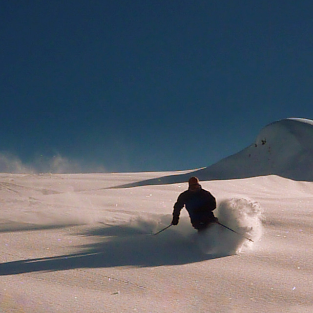
Ski lessons in Flaine
Book now

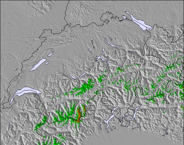
Flaine Weather (Next 3 days): The snow forecast for Flaine is: Some drizzle, heaviest during Thu night. Freeze-thaw conditions (max 5°C on Fri morning, min -1°C on Wed morning). Wind will be generally light.
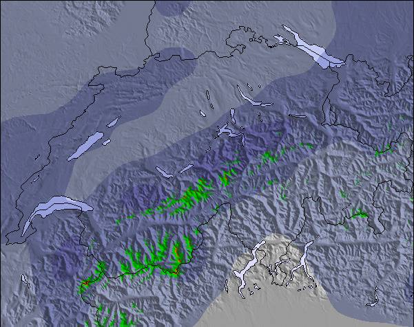
Flaine Weather (Days 4-6): Moderate rain (total 18.0mm) heaviest on Mon night, then becoming colder with a dusting of snow on Mon night. Mild temperatures (max 7°C on Sat morning, min 2°C on Mon night). Wind will be generally light.
| Resort | Snow Depth | Temp. (°C) | Wind (km/h) | Weather | ||
|---|---|---|---|---|---|---|
| Top Lift: | 0.0 m | -1 | ||||
| Middle Lift: | 1 | |||||
| Bottom Lift: | 0.0 m | 4 |
Latest snow reports near Flaine:
Resort closed for the season. See you this summer! from La Giettaz en Aravis
Intermittent light rain reported from Aigle at 479 metres elevation 7 kms WSW of Leysin but it is forecast cold enough for snow at higher elevations in the ski area from Leysin
Continuous moderate rain reported from Aigle at 479 metres elevation 7 kms WSW of Leysin but it is forecast cold enough for snow at higher elevations in the ski area from Leysin

Wednesday 8 | Thursday 9 | Friday 10 | Saturday 11 | Sunday 12 | Monday 13 | Tuesday 14 | |||||||||||||||
AM | PM | night | AM | PM | night | AM | PM | night | AM | PM | night | AM | PM | night | AM | PM | night | AM | PM | night | |
cloudy | light snow | snow shwrs | clear | some clouds | rain shwrs | clear | some clouds | some clouds | some clouds | some clouds | rain shwrs | light rain | rain shwrs | light rain | rain shwrs | light rain | light snow | mod. snow | light snow | light snow | |
km/h | |||||||||||||||||||||
Snow map |  |  |  |  |  |  |  | ||||||||||||||
— | — | — | — | — | — | — | — | — | — | — | — | — | — | — | — | — | 1.0 | 6 | — | 3 | |
— | — | — | — | — | 1.0 | — | — | — | — | — | 1.0 | 3 | 4 | 3 | 1.0 | 2.0 | 4 | — | — | — | |
max°C | -1 | 0 | 1 | 3 | 4 | 4 | 5 | 5 | 5 | 7 | 7 | 6 | 5 | 6 | 5 | 5 | 6 | 6 | 1 | 1 | 1 |
min°C | -1 | -1 | 0 | 2 | 4 | 3 | 4 | 5 | 5 | 5 | 7 | 5 | 4 | 6 | 4 | 4 | 6 | 2 | 0 | 1 | 0 |
-6 | -5 | -3 | 2 | 4 | 3 | 4 | 5 | 5 | 5 | 6 | 5 | 4 | 5 | 1 | 1 | 4 | 2 | -4 | -3 | -2 | |
87 | 91 | 54 | 50 | 78 | 59 | 43 | 83 | 45 | 31 | 78 | 82 | 77 | 72 | 76 | 69 | 79 | 96 | 97 | 96 | 97 | |
2300 | 2450 | 2700 | 3100 | 3050 | 3100 | 3150 | 3200 | 3450 | 3500 | 3300 | 3200 | 3150 | 3200 | 3100 | 3150 | 3300 | 3150 | 2600 | 2750 | 2600 | |
6:09 | — | — | 6:07 | — | — | 6:05 | — | — | 6:05 | — | — | 6:03 | — | — | 6:03 | — | — | 6:01 | — | — | |
— | — | 8:50 | — | — | 8:51 | — | — | 8:52 | — | — | 8:53 | — | — | 8:54 | — | — | 8:55 | — | — | 8:58 | |
Some drizzle, heaviest during Thu night. Freeze-thaw conditions (max 5°C on Fri morning, min -1°C on Wed morning). Wind will be generally light.
Moderate rain (total 18.0mm) heaviest on Mon night, then becoming colder with a dusting of snow on Mon night. Mild temperatures (max 7°C on Sat morning, min 2°C on Mon night). Wind will be generally light.
Latest snow reports near Flaine:
Resort closed for the season. See you this summer! from La Giettaz en Aravis
Intermittent light rain reported from Aigle at 479 metres elevation 7 kms WSW of Leysin but it is forecast cold enough for snow at higher elevations in the ski area from Leysin
Continuous moderate rain reported from Aigle at 479 metres elevation 7 kms WSW of Leysin but it is forecast cold enough for snow at higher elevations in the ski area from Leysin
| Top snow depth: | 0 cm |
|---|---|
| Bottom snow depth: | 0 cm |
| Fresh snowfall depth: | 19 cm |
| Last snowfall: | 7 May 2024 |
| Snow Alerts | Create Alert |
0.1 | Bluebird Powder days Fresh snow, mostly sunny, light wind. |
|---|---|
0.7 | Powder days Fresh snow, limited sun, any wind. |
0.1 | Bluebird days Average snow, mostly sunny, light wind. |


The above table gives the weather forecast for Flaine at the specific elevation of 2500 m. Our sophisticated weather models allow us to provide snow forecasts for the top, middle and bottom ski stations of Flaine. To access the weather forecasts for the other elevations, use the tab navigation above the table. For a wider view of the weather, check out the Weather Map of France.
Click here to read further information on freezing levels and how we forecast our temperatures.
Overall 4.0 Based on 60 votes and 74 reviews
A very family oriented destination. Upsides: all families, down side: not much of a chance for apres-ski.
Can Öztürk from Turkey writes:
A very family oriented destination. Upsides: all families, down side: not much of a chance for apres-ski.
The Flaine skiing weather widget is available to embed on external websites free of charge. It provides a daily summary of our Flaine snow forecast and current weather conditions. Simply go to the feed configuration page and follow the 3 simple steps to grab the custom html code snippet and paste it into your own site. You can choose the snow forecast elevation (summit, mid-mountain or bottom lift) and metric/imperial units for the snow forecast feed to suit your own website…. Click here to get the code.
View detailed snow forecast for Flaine at:
snow-forecast.com


 Nearest