


View forecast
Formigueres at 2400 m altitude
Issued by Snow-Forecast.com at: 7 am (local time) / 18 May 2024
Now
Saturday 18 | Sunday 19 | Monday 20 | Tuesday 21 | Wednesday 22 | Thursday 23 | Friday 24 | |||||||||||||||
AM | PM | night | AM | PM | night | AM | PM | night | AM | PM | night | AM | PM | night | AM | PM | night | AM | PM | night | |
snow shwrs | rain shwrs | rain shwrs | clear | risk thun- der | rain shwrs | rain shwrs | rain shwrs | snow shwrs | cloudy | snow shwrs | snow shwrs | some clouds | light rain | rain shwrs | light rain | light rain | snow shwrs | clear | light rain | rain shwrs | |
km/h | |||||||||||||||||||||
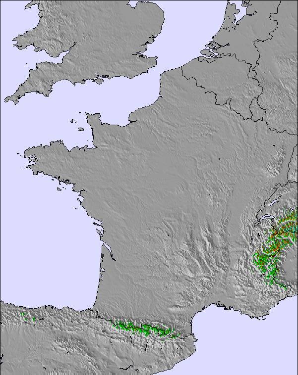
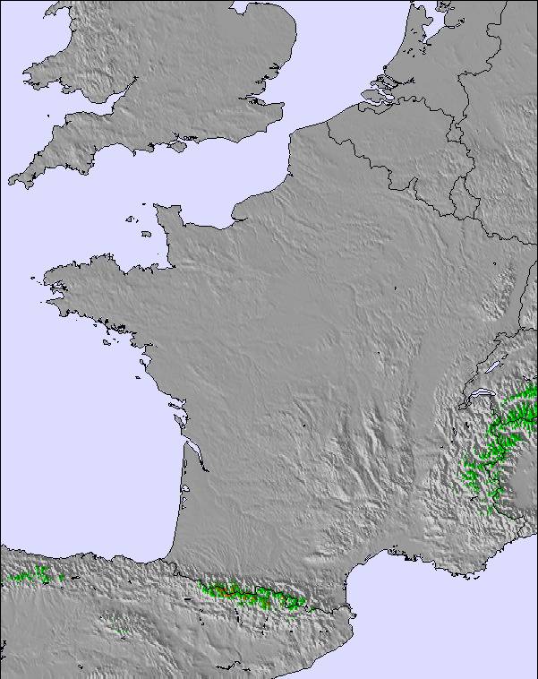
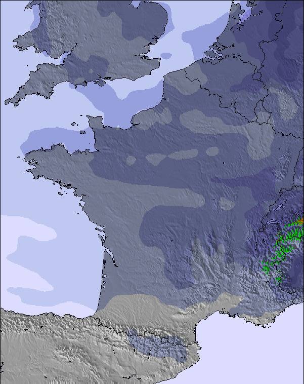
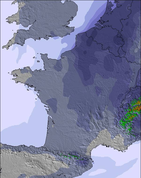
Snow map |  |  |  |  |  |  |  | ||||||||||||||
— | — | — | — | — | — | — | — | — | — | 1.0 | 1.0 | — | — | — | — | — | 9 | — | — | — | |
— | 2.0 | 1.0 | — | 3 | 3 | 1.0 | 4 | 2.0 | — | — | — | — | 2.0 | 3 | 1.0 | 4 | — | — | 3 | 2.0 | |
max°C | 1 | 3 | 3 | 4 | 5 | 4 | 2 | 3 | 2 | 2 | 2 | 2 | 2 | 4 | 3 | 3 | 3 | 2 | 1 | 2 | 3 |
min°C | 0 | 3 | 2 | 2 | 4 | 2 | 2 | 3 | 0 | 0 | 2 | 0 | 1 | 4 | 2 | 2 | 2 | 0 | 0 | 2 | 2 |
-5 | -1 | 1 | -1 | 1 | -2 | -1 | 0 | -3 | -3 | 0 | -5 | -4 | 0 | -3 | -4 | -3 | -4 | -3 | 0 | -1 | |
82 | 74 | 73 | 67 | 77 | 81 | 80 | 83 | 78 | 77 | 93 | 90 | 74 | 76 | 87 | 86 | 91 | 91 | 62 | 90 | 67 | |
2550 | 2800 | 2850 | 2850 | 2950 | 2850 | 2750 | 2800 | 2500 | 2600 | 2700 | 2500 | 2650 | 2900 | 2750 | 2750 | 2800 | 2300 | 2600 | 2750 | 2900 | |
6:26 | — | — | 6:24 | — | — | 6:24 | — | — | 6:22 | — | — | 6:22 | — | — | 6:20 | — | — | 6:20 | — | — | |
— | — | 9:09 | — | — | 9:10 | — | — | 9:12 | — | — | 9:13 | — | — | 9:14 | — | — | 9:15 | — | — | 9:15 | |
Next 0-3 days weather summary:
Moderate rain (total 16.0mm), heaviest on Sun afternoon. Freeze-thaw conditions (max 5°C on Sun afternoon, min 0°C on Sat morning). Wind will be generally light.
Next 4-6 days weather summary:
Moderate rain (total 10.0mm), heaviest on Thu afternoon giving way to a moderate fall of snow, heaviest on Thu night. Freeze-thaw conditions (max 4°C on Wed afternoon, min 0°C on Tue morning). Winds increasing (light winds from the WSW on Tue afternoon, fresh winds from the SW by Wed night).
Popular Formigueres Pages
Snow Radar
Submit a reportLatest snow reports near Formigueres:
41 km away from Formigueres
7 hours ago
Light rain reported from Urbanització Sa Calma wx at 1270 metres elevation 8 kms SSW of Grandvalira-Canillo but it is forecast cold enough for snow at higher elevations in the ski area from Grandvalira-Canillo
Formigueres Snow Conditions
| Top snow depth: | — |
|---|---|
| Bottom snow depth: | — |
| Fresh snowfall depth: | 2 cm |
| Last snowfall: | 16 May 2024 |
| Snow Alerts | Create Alert |
Other resorts in France are reporting: powder (0) / good piste (0)
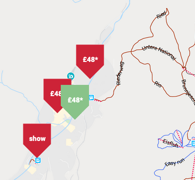
Snow-Forecast Partner Offers
Show your business here
Snow History
Week 3 of May has on average:
0.2 | Bluebird Powder days Fresh snow, mostly sunny, light wind. |
|---|---|
0.2 | Powder days Fresh snow, limited sun, any wind. |
0.1 | Bluebird days Average snow, mostly sunny, light wind. |

Formigueres Forecast Snowfall
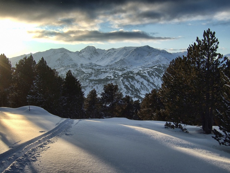
Photos of Formigueres
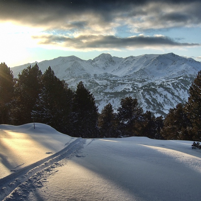
Perfect End to the Day by Pyrenees Mountain Adventure
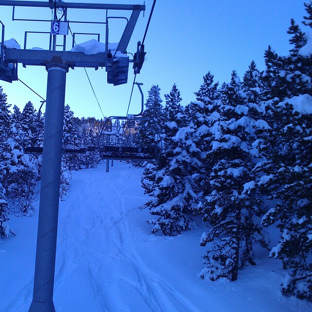
TS Calmazeille by agp10
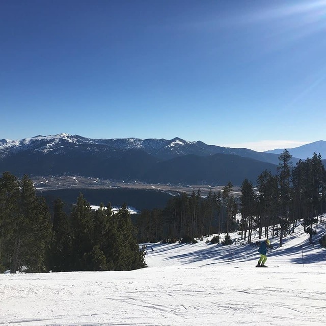
Resort closes this week as a result of warm weather. by Snow Forecast Admin
Other resorts in France are reporting: powder (0) / good piste (0)
The above table gives the weather forecast for Formigueres at the specific elevation of 2400 m. Our sophisticated weather models allow us to provide snow forecasts for the top, middle and bottom ski stations of Formigueres. To access the weather forecasts for the other elevations, use the tab navigation above the table. For a wider view of the weather, check out the Weather Map of France.
Click here to read further information on freezing levels and how we forecast our temperatures.
Visitor Reviews of Formigueres
Overall 3.6 Based on 3 votes and 5 reviews
- Snowsure
- Variety of pistes
- Vote
- Marc from Spain writes:
Formigueres is a great small resort for families with kids. No crowds, carpark very close to the runs, lovely sundeck and bar. Not many pistes and most of them for beginners and medium skilled skiers. We love the place as there are not many kamikaze and dangerous snowboarders and the resort is quiet and relaxing, ideal to have fun with the children. Formigueres ha a beautiful landscape all around, and lots of woods to ski within the trees.
Visitor Reviews of Formigueres
Marc from Spain writes:
Formigueres is a great small resort for families with kids.
No crowds, carpark very close to the runs, lovely sundeck and bar.
Not many pistes and most of them for beginners and medium skilled skiers.
We love the place as there are not many kamikaze and dangerous snowboarders and the resort is quiet and relaxing, ideal to have fun with the children.
Formigueres ha a beautiful landscape all around, and lots of woods to ski within the trees.
Free Snow-Forecast.com weather widget for your website
The Formigueres skiing weather widget is available to embed on external websites free of charge. It provides a daily summary of our Formigueres snow forecast and current weather conditions. Simply go to the feed configuration page and follow the 3 simple steps to grab the custom html code snippet and paste it into your own site. You can choose the snow forecast elevation (summit, mid-mountain or bottom lift) and metric/imperial units for the snow forecast feed to suit your own website…. Click here to get the code.
View detailed snow forecast for Formigueres at:
snow-forecast.com

 Nearest