
Ski Lessons by SkiBro
BOOK NOW
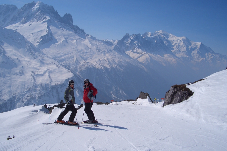
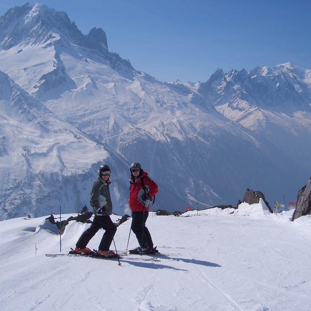
Ski lessons in Le Tour
Book now

Le Tour Weather (Next 3 days): The snow forecast for Le Tour is: Light rain (total 2.0mm), mostly falling on Wed afternoon. Very mild (max 11°C on Tue afternoon, min 3°C on Mon morning). Wind will be generally light.
Le Tour Weather (Days 4-6): Heavy rain (total 46.0mm), heaviest during Thu morning. Later becoming colder with a dusting of snow on Sat night. Freeze-thaw conditions (max 8°C on Sat afternoon, min -3°C on Sat night). Wind will be generally light.
| Resort | Snow Depth | Temp. (°C) | Wind (km/h) | Weather | ||
|---|---|---|---|---|---|---|
| Top Lift: | 0 | |||||
| Middle Lift: | 2 | |||||
| Bottom Lift: | 2 |
Latest snow reports near Le Tour:
Light rain reported from Sion at 339 metres elevation only 2 kms NW of Veysonnaz-Printse but it is forecast cold enough for snow at higher elevations in the ski area from Veysonnaz-Printse
Light rain reported from Aosta Airport at 546 metres elevation 5 kms NE of Pila but it is forecast cold enough for snow at the ski area from Pila
Resort closed for the season. See you this summer! from La Giettaz en Aravis

Monday 29 | Tuesday 30 | Wednesday 1 | Thursday 2 | Friday 3 | Saturday 4 | Sunday 5 | |||||||||||||||
AM | PM | night | AM | PM | night | AM | PM | night | AM | PM | night | AM | PM | night | AM | PM | night | AM | PM | night | |
some clouds | some clouds | cloudy | cloudy | cloudy | some clouds | some clouds | rain shwrs | light rain | heavy rain | heavy rain | light snow | cloudy | light rain | light rain | light rain | cloudy | snow shwrs | clear | clear | some clouds | |
km/h | |||||||||||||||||||||
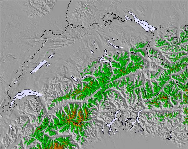
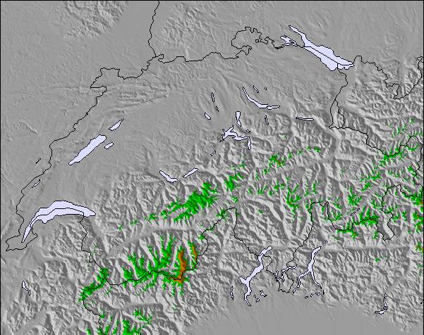
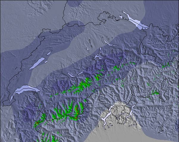
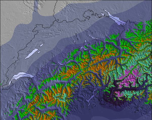
Snow map |  |  |  |  |  |  |  | ||||||||||||||
— | — | — | — | — | — | — | — | — | — | — | 2.0 | — | — | — | — | — | 1.0 | — | — | — | |
— | — | — | — | — | — | — | 1.0 | 1.0 | 14 | 14 | — | — | 2.0 | 1.0 | 1.0 | — | 14 | — | — | — | |
max°C | 7 | 10 | 7 | 9 | 11 | 7 | 8 | 11 | 7 | 4 | 2 | 2 | 2 | 5 | 4 | 6 | 8 | 5 | 5 | 9 | 6 |
min°C | 3 | 9 | 4 | 6 | 10 | 4 | 6 | 10 | 4 | 2 | 2 | -2 | 0 | 4 | -1 | 3 | 8 | -3 | 2 | 8 | 3 |
1 | 8 | 2 | 4 | 9 | 2 | 4 | 10 | 2 | 0 | 0 | -2 | 0 | 4 | -4 | 1 | 6 | -7 | 2 | 7 | 0 | |
78 | 71 | 85 | 70 | 66 | 84 | 77 | 69 | 86 | 99 | 99 | 100 | 91 | 71 | 78 | 71 | 75 | 96 | 78 | 60 | 77 | |
2800 | 2900 | 2900 | 2900 | 2900 | 2800 | 2850 | 2850 | 2500 | 1950 | 1800 | 1500 | 1800 | 2150 | 1750 | 2500 | 2650 | 1550 | 2250 | 2550 | 2550 | |
6:20 | — | — | 6:20 | — | — | 6:18 | — | — | 6:16 | — | — | 6:15 | — | — | 6:13 | — | — | 6:11 | — | — | |
— | — | 8:37 | — | — | 8:38 | — | — | 8:39 | — | — | 8:42 | — | — | 8:43 | — | — | 8:44 | — | — | 8:45 | |
Light rain (total 2.0mm), mostly falling on Wed afternoon. Very mild (max 11°C on Tue afternoon, min 3°C on Mon morning). Wind will be generally light.
Heavy rain (total 46.0mm), heaviest during Thu morning. Later becoming colder with a dusting of snow on Sat night. Freeze-thaw conditions (max 8°C on Sat afternoon, min -3°C on Sat night). Wind will be generally light.
Latest snow reports near Le Tour:
Light rain reported from Sion at 339 metres elevation only 2 kms NW of Veysonnaz-Printse but it is forecast cold enough for snow at higher elevations in the ski area from Veysonnaz-Printse
Light rain reported from Aosta Airport at 546 metres elevation 5 kms NE of Pila but it is forecast cold enough for snow at the ski area from Pila
Resort closed for the season. See you this summer! from La Giettaz en Aravis
| Top snow depth: | — |
|---|---|
| Bottom snow depth: | — |
| Fresh snowfall depth: | — |
| Last snowfall: | 26 Apr 2024 |
| Snow Alerts | Create Alert |
0.0 | Bluebird Powder days Fresh snow, mostly sunny, light wind. |
|---|---|
0.1 | Powder days Fresh snow, limited sun, any wind. |
0.0 | Bluebird days Average snow, mostly sunny, light wind. |
The above table gives the weather forecast for Le Tour at the specific elevation of 1464 m. Our sophisticated weather models allow us to provide snow forecasts for the top, middle and bottom ski stations of Le Tour. To access the weather forecasts for the other elevations, use the tab navigation above the table. For a wider view of the weather, check out the Weather Map of France.
Click here to read further information on freezing levels and how we forecast our temperatures.
Overall 3.2 Based on 3 votes and 2 reviews
Le Tour is a great area for all round family fun, with something for everyone from the lower nursery slopes, to some great wide blues to perfect your technique and some nice reds for a challenge. Whilst lacking in blacks runs there is plenty of opportunity to ski off-piste and challenge yourself with powder and moguls (and in my case fall over). The forest ski down to Vallorcine is one of my favourite bits - even if you do need to walk the last final bit to the gondola to return (warms up your toes). Not great for snowboarders with long flattish linking sections, but now with a new snow park (opened last year) this may make up for it. Not for the ski party set as night life practically non-existent (one hotel bar and a restaurant) - so take your mates and party at home or go to Argentiere. We tend to spend a week in Le Tour at half term with the family and it provides the least frenetic, but not the least challenging, skiing at that time.The ski down at the end of the day can be challengingly busy, so if in doubt ski this run earlier in the day and just get the gondola down. At half term I think the other Chamonix resorts are nightmarish with some really bad tempered folk on challenging and crowded runs - we do ski them (very easy on the bus from Le Tour) but we are always glad to return to Le Tour. Of course at quieter times Le Tour would improve and the other areas would also be much more enjoyable. During busy times get to the bottom lift immediately before it opens or later morning to avoid too long a wait. Le Tour is a great spot if there is a bit of snow as with such a small amount of on-site accommodation people tend not to struggle up the valley from Chamonix etc so you have the pistes to yourself.
Dr Jam from United Kingdom writes:
Le Tour is a great area for all round family fun, with something for everyone from the lower nursery slopes, to some great wide blues to perfect your technique and some nice reds for a challenge. Whilst lacking in blacks runs there is plenty of opportunity to ski off-piste and challenge yourself with powder and moguls (and in my case fall over). The forest ski down to Vallorcine is one of my favourite bits - even if you do need to walk the last final bit to the gondola to return (warms up your toes). Not great for snowboarders with long flattish linking sections, but now with a new snow park (opened last year) this may make up for it.
Not for the ski party set as night life practically non-existent (one hotel bar and a restaurant) - so take your mates and party at home or go to Argentiere.
We tend to spend a week in Le Tour at half term with the family and it provides the least frenetic, but not the least challenging, skiing at that time.The ski down at the end of the day can be challengingly busy, so if in doubt ski this run earlier in the day and just get the gondola down. At half term I think the other Chamonix resorts are nightmarish with some really bad tempered folk on challenging and crowded runs - we do ski them (very easy on the bus from Le Tour) but we are always glad to return to Le Tour. Of course at quieter times Le Tour would improve and the other areas would also be much more enjoyable.
During busy times get to the bottom lift immediately before it opens or later morning to avoid too long a wait. Le Tour is a great spot if there is a bit of snow as with such a small amount of on-site accommodation people tend not to struggle up the valley from Chamonix etc so you have the pistes to yourself.
The Le Tour skiing weather widget is available to embed on external websites free of charge. It provides a daily summary of our Le Tour snow forecast and current weather conditions. Simply go to the feed configuration page and follow the 3 simple steps to grab the custom html code snippet and paste it into your own site. You can choose the snow forecast elevation (summit, mid-mountain or bottom lift) and metric/imperial units for the snow forecast feed to suit your own website…. Click here to get the code.
View detailed snow forecast for Le Tour at:
snow-forecast.com


 Nearest