
Ski Hire by Intersport
CODE: FORECASTSKI


Peyragudes Weather (Next 3 days): The snow forecast for Peyragudes is: Mild with moderate rain (total 17.0mm) on Sun afternoon, Becoming colder with a light covering of snow, mostly falling on Sun night. Freeze-thaw conditions (max 3°C on Sat afternoon, min -1°C on Sat morning). Wind will be generally light.
Peyragudes Weather (Days 4-6): Mild with light rain (total 4.0mm) on Wed afternoon Becoming colder with a light covering of snow, mostly falling on Thu afternoon. Freeze-thaw conditions (max 3°C on Wed afternoon, min -1°C on Thu night). Wind will be generally light.
| Resort | Snow Depth | Temp. (°C) | Wind (km/h) | Weather | ||
|---|---|---|---|---|---|---|
| Top Lift: | 0.0 m | -1 | ||||
| Middle Lift: | 1 | |||||
| Bottom Lift: | 0.0 m | 3 |
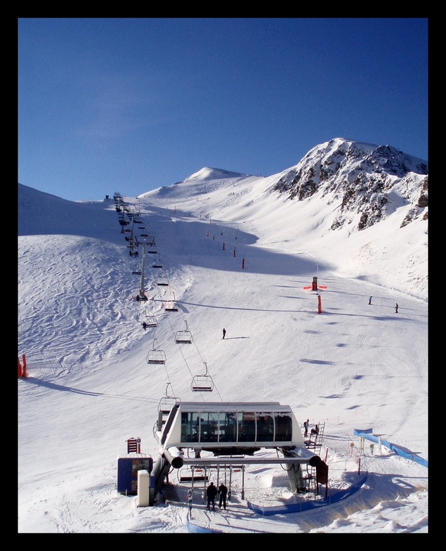
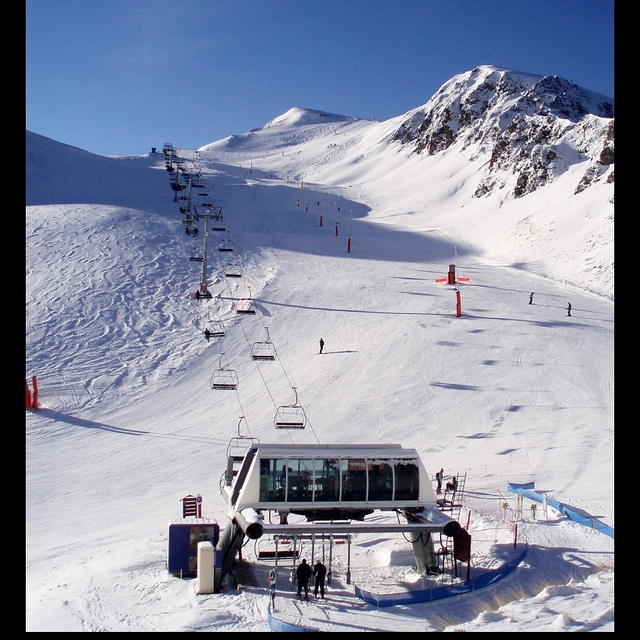
Latest snow reports near Peyragudes:

Saturday 18 | Sunday 19 | Monday 20 | Tuesday 21 | Wednesday 22 | Thursday 23 | Friday 24 | |||||||||||||||
AM | PM | night | AM | PM | night | AM | PM | night | AM | PM | night | AM | PM | night | AM | PM | night | AM | PM | night | |
snow shwrs | light rain | rain shwrs | risk thun- der | heavy rain | snow shwrs | snow shwrs | light snow | snow shwrs | some clouds | snow shwrs | snow shwrs | some clouds | rain shwrs | light snow | snow shwrs | snow shwrs | light snow | some clouds | light rain | rain shwrs | |
km/h | |||||||||||||||||||||
Snow map |  |  |  |  |  |  |  | ||||||||||||||
— | — | — | — | — | 4 | — | 2.0 | 1.0 | — | 1.0 | 1.0 | — | — | 1.0 | 1.0 | 2.0 | 1.0 | — | — | — | |
— | 2.0 | 1.0 | 1.0 | 13 | — | — | — | — | — | — | — | — | 3 | 1.0 | — | — | — | — | 3 | 1.0 | |
max°C | 0 | 3 | 2 | 3 | 3 | 2 | 1 | 2 | 1 | 1 | 2 | 1 | 1 | 3 | 2 | 1 | 1 | 0 | 1 | 2 | 3 |
min°C | -1 | 2 | 1 | 2 | 2 | 1 | 0 | 2 | 0 | 0 | 1 | 0 | 0 | 3 | 0 | 0 | 1 | -1 | 0 | 2 | 3 |
-5 | -1 | -2 | -2 | 0 | -2 | -4 | -1 | -3 | -2 | 0 | -4 | -4 | -1 | -5 | -5 | -3 | -1 | 0 | 1 | 1 | |
80 | 74 | 86 | 80 | 96 | 79 | 83 | 88 | 80 | 83 | 90 | 80 | 80 | 81 | 95 | 90 | 91 | 98 | 69 | 89 | 57 | |
2400 | 2700 | 2550 | 2700 | 2800 | 2700 | 2550 | 2600 | 2400 | 2550 | 2650 | 2450 | 2550 | 2750 | 2600 | 2500 | 2500 | 2250 | 2550 | 2750 | 2950 | |
6:31 | — | — | 6:31 | — | — | 6:30 | — | — | 6:28 | — | — | 6:28 | — | — | 6:26 | — | — | 6:26 | — | — | |
— | — | 9:16 | — | — | 9:17 | — | — | 9:19 | — | — | 9:20 | — | — | 9:21 | — | — | 9:22 | — | — | 9:22 | |
Mild with moderate rain (total 17.0mm) on Sun afternoon, Becoming colder with a light covering of snow, mostly falling on Sun night. Freeze-thaw conditions (max 3°C on Sat afternoon, min -1°C on Sat morning). Wind will be generally light.
Mild with light rain (total 4.0mm) on Wed afternoon Becoming colder with a light covering of snow, mostly falling on Thu afternoon. Freeze-thaw conditions (max 3°C on Wed afternoon, min -1°C on Thu night). Wind will be generally light.
Latest snow reports near Peyragudes:
| Top snow depth: | 0 cm |
|---|---|
| Bottom snow depth: | 0 cm |
| Fresh snowfall depth: | 5 cm |
| Last snowfall: | 17 May 2024 |
| Snow Alerts | Create Alert |
0.1 | Bluebird Powder days Fresh snow, mostly sunny, light wind. |
|---|---|
0.3 | Powder days Fresh snow, limited sun, any wind. |
0.2 | Bluebird days Average snow, mostly sunny, light wind. |
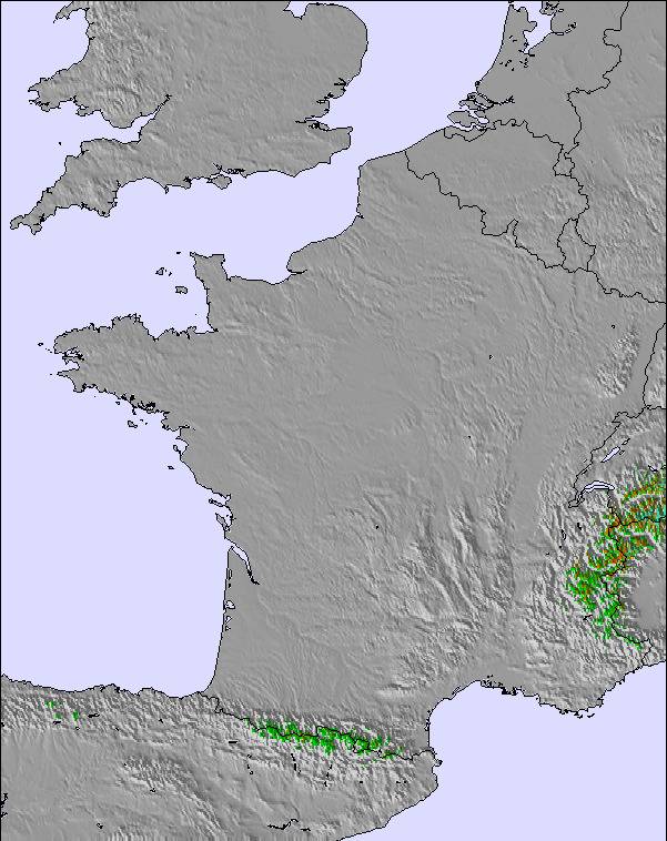
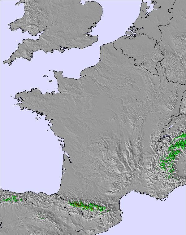
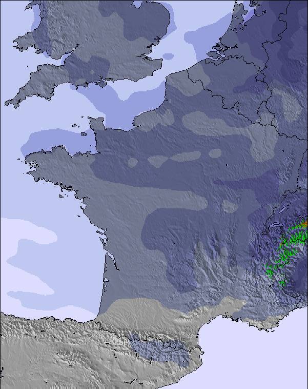
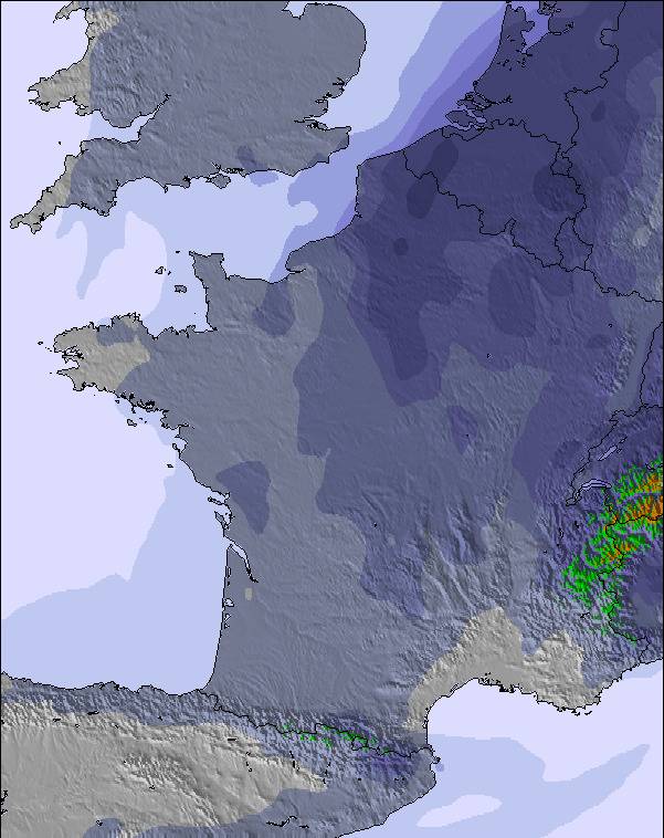
The above table gives the weather forecast for Peyragudes at the specific elevation of 2400 m. Our sophisticated weather models allow us to provide snow forecasts for the top, middle and bottom ski stations of Peyragudes. To access the weather forecasts for the other elevations, use the tab navigation above the table. For a wider view of the weather, check out the Weather Map of France.
Click here to read further information on freezing levels and how we forecast our temperatures.
Overall 3.8 Based on 11 votes and 13 reviews
Station très agréable, familiale. Les canons à neige permettent un bon enneigement. Le soleil est souvent au rendez vous. Je recommande !! Et j'y retournerai dès que possible.
Catherine from France writes:
Station très agréable, familiale. Les canons à neige permettent un bon enneigement. Le soleil est souvent au rendez vous.
Je recommande !! Et j'y retournerai dès que possible.
The Peyragudes skiing weather widget is available to embed on external websites free of charge. It provides a daily summary of our Peyragudes snow forecast and current weather conditions. Simply go to the feed configuration page and follow the 3 simple steps to grab the custom html code snippet and paste it into your own site. You can choose the snow forecast elevation (summit, mid-mountain or bottom lift) and metric/imperial units for the snow forecast feed to suit your own website…. Click here to get the code.
View detailed snow forecast for Peyragudes at:
snow-forecast.com


 Nearest