
Ski Hire by Intersport
CODE: FORECASTSKI


Piau Engaly Weather (Next 3 days): The snow forecast for Piau Engaly is: A light covering of new snow, mostly falling on Mon night. Becoming milder with light rain (total 8.0mm) on Tue afternoon. Freeze-thaw conditions (max 4°C on Tue afternoon, min -1°C on Sun morning). Wind will be generally light.
Piau Engaly Weather (Days 4-6): A dusting of snow turning to light rain (total 3.0mm) on Thu afternoon. Freeze-thaw conditions (max 7°C on Fri afternoon, min -3°C on Wed night). Wind will be generally light.
| Resort | Snow Depth | Temp. (°C) | Wind (km/h) | Weather | ||
|---|---|---|---|---|---|---|
| Top Lift: | 0.0 m | -2 | ||||
| Middle Lift: | 2 | |||||
| Bottom Lift: | 0.0 m | 7 |
Latest snow reports near Piau Engaly:

Sunday 28 | Monday 29 | Tuesday 30 | Wednesday 1 | Thursday 2 | Friday 3 | Saturday 4 | |||||||||||||||
AM | PM | night | AM | PM | night | AM | PM | night | AM | PM | night | AM | PM | night | AM | PM | night | AM | PM | night | |
snow shwrs | light rain | light snow | light snow | light snow | light snow | light snow | light rain | snow shwrs | light snow | light snow | light snow | snow shwrs | light snow | rain shwrs | clear | some clouds | some clouds | some clouds | rain shwrs | light rain | |
km/h | |||||||||||||||||||||
Snow map |  |  |  |  |  |  |  | ||||||||||||||
— | — | 1.0 | — | 1.0 | 4 | — | — | — | — | 3 | 1.0 | — | 1.0 | — | — | — | — | — | — | — | |
— | 2.0 | — | — | — | — | 1.0 | 3 | 2.0 | — | — | — | — | 2.0 | 1.0 | — | — | — | — | 1.0 | 1.0 | |
max°C | 1 | 3 | 2 | 1 | 2 | 1 | 2 | 4 | 3 | 2 | 0 | -1 | 0 | 3 | 2 | 5 | 7 | 6 | 8 | 10 | 8 |
min°C | -1 | 2 | 0 | 0 | 1 | 1 | 1 | 3 | 1 | 1 | 0 | -3 | -2 | 1 | 0 | 1 | 7 | 4 | 5 | 9 | 5 |
-5 | -1 | -2 | 0 | -1 | -2 | 1 | 1 | -2 | -2 | -3 | -3 | -2 | 0 | -3 | -2 | 4 | 1 | 2 | 7 | 0 | |
78 | 77 | 92 | 93 | 96 | 98 | 89 | 87 | 88 | 98 | 90 | 83 | 72 | 61 | 71 | 43 | 53 | 79 | 72 | 77 | 88 | |
2100 | 2250 | 2050 | 2150 | 2200 | 2150 | 2250 | 2450 | 2200 | 2250 | 2000 | 1550 | 1950 | 2300 | 1950 | 2800 | 2800 | 2850 | 3100 | 3100 | 3050 | |
6:56 | — | — | 6:56 | — | — | 6:54 | — | — | 6:52 | — | — | 6:50 | — | — | 6:50 | — | — | 6:48 | — | — | |
— | — | 8:55 | — | — | 8:58 | — | — | 8:59 | — | — | 9:00 | — | — | 9:00 | — | — | 9:01 | — | — | 9:02 | |
A light covering of new snow, mostly falling on Mon night. Becoming milder with light rain (total 8.0mm) on Tue afternoon. Freeze-thaw conditions (max 4°C on Tue afternoon, min -1°C on Sun morning). Wind will be generally light.
A dusting of snow turning to light rain (total 3.0mm) on Thu afternoon. Freeze-thaw conditions (max 7°C on Fri afternoon, min -3°C on Wed night). Wind will be generally light.
Latest snow reports near Piau Engaly:
| Top snow depth: | 0 cm |
|---|---|
| Bottom snow depth: | 0 cm |
| Fresh snowfall depth: | 29 cm |
| Last snowfall: | 27 Apr 2024 |
| Snow Alerts | Create Alert |
0.1 | Bluebird Powder days Fresh snow, mostly sunny, light wind. |
|---|---|
0.6 | Powder days Fresh snow, limited sun, any wind. |
0.1 | Bluebird days Average snow, mostly sunny, light wind. |
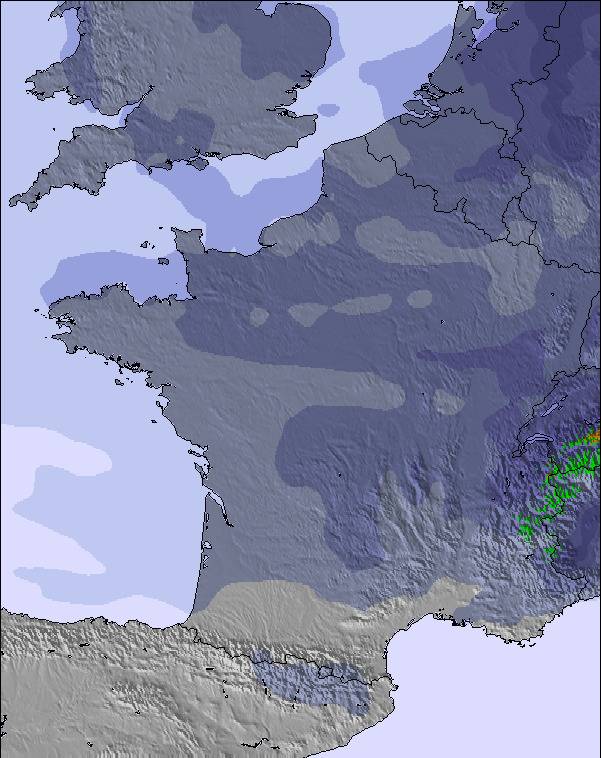
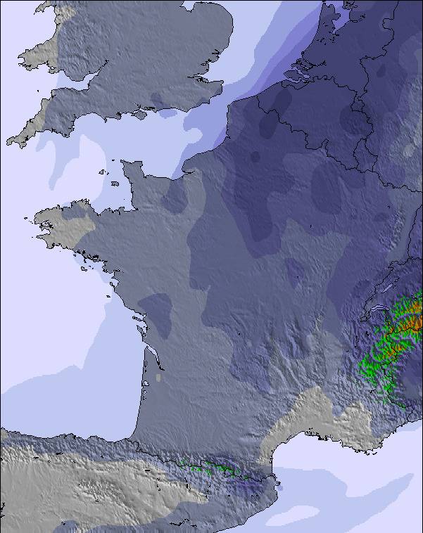
The above table gives the weather forecast for Piau Engaly at the specific elevation of 1960 m. Our sophisticated weather models allow us to provide snow forecasts for the top, middle and bottom ski stations of Piau Engaly. To access the weather forecasts for the other elevations, use the tab navigation above the table. For a wider view of the weather, check out the Weather Map of France.
Click here to read further information on freezing levels and how we forecast our temperatures.
Overall 3.5 Based on 19 votes and 4 reviews
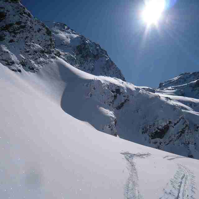
Piau Engaly was one of the best snowboard expressions I ever had with powder and a lot of off-pistes. Had a lot of fun there with nice views over almost all the tops of the other mountains. The Piau Engaly area looks small but it is amazing; there are no schools and it is not crowded at all. It is perfect at the end :-) Go there and enjoy your riding.
nadine bob from Germany writes:
Piau Engaly was one of the best snowboard expressions I ever had with powder and a lot of off-pistes. Had a lot of fun there with nice views over almost all the tops of the other mountains. The Piau Engaly area looks small but it is amazing; there are no schools and it is not crowded at all. It is perfect at the end :-) Go there and enjoy your riding.
The Piau Engaly skiing weather widget is available to embed on external websites free of charge. It provides a daily summary of our Piau Engaly snow forecast and current weather conditions. Simply go to the feed configuration page and follow the 3 simple steps to grab the custom html code snippet and paste it into your own site. You can choose the snow forecast elevation (summit, mid-mountain or bottom lift) and metric/imperial units for the snow forecast feed to suit your own website…. Click here to get the code.
View detailed snow forecast for Piau Engaly at:
snow-forecast.com


 Nearest