
Airport Transfers by Alpine FLeet
BOOK NOW


Val Thorens Weather (Next 3 days): The snow forecast for Val Thorens is: A light covering of new snow, mostly falling on Thu night. Becoming milder with moderate rain (total 10.0mm) heaviest on Fri afternoon. Freeze-thaw conditions (max 8°C on Sat afternoon, min -1°C on Thu night). Wind will be generally light.
Val Thorens Weather (Days 4-6): Heavy rain (total 33.0mm), heaviest during Mon night. Mild temperatures (max 8°C on Sun afternoon, min 2°C on Sun night). Wind will be generally light.
| Resort | Snow Depth | Temp. (°C) | Wind (km/h) | Weather | ||
|---|---|---|---|---|---|---|
| Top Lift: | -6 | |||||
| Middle Lift: | -2 | |||||
| Bottom Lift: | 0 |
Latest snow reports near Val Thorens:

Thursday 16 | Friday 17 | Saturday 18 | Sunday 19 | Monday 20 | Tuesday 21 | Wednesday 22 | |||||||||||||||
AM | PM | night | AM | PM | night | AM | PM | night | AM | PM | night | AM | PM | night | AM | PM | night | AM | PM | night | |
snow shwrs | light snow | light snow | some clouds | rain shwrs | snow shwrs | clear | rain shwrs | rain shwrs | some clouds | risk thun- der | rain shwrs | some clouds | risk thun- der | mod. rain | light rain | light rain | mod. rain | light rain | light rain | light rain | |
km/h | |||||||||||||||||||||
Snow map |  |  |  |  |  |  |  | ||||||||||||||
— | 2.0 | 4 | — | — | — | — | — | — | — | — | — | — | — | — | — | — | — | — | — | — | |
— | — | — | — | 3 | 2.0 | — | 1.0 | 4 | — | 3 | 6 | — | 4 | 9 | 2.0 | 2.0 | 7 | 3 | 2.0 | 4 | |
max°C | 1 | 2 | 0 | 1 | 4 | 3 | 5 | 8 | 5 | 5 | 8 | 5 | 6 | 8 | 6 | 3 | 5 | 4 | 4 | 5 | 2 |
min°C | 0 | 0 | -1 | -1 | 3 | 0 | 2 | 7 | 1 | 3 | 7 | 2 | 3 | 7 | 3 | 3 | 5 | 2 | 2 | 4 | 2 |
-4 | 0 | -4 | -3 | 2 | 0 | 0 | 6 | -2 | 0 | 7 | 2 | 3 | 7 | 2 | 3 | 4 | 0 | 0 | 2 | -1 | |
86 | 97 | 97 | 76 | 74 | 83 | 61 | 58 | 92 | 77 | 68 | 90 | 72 | 72 | 89 | 83 | 81 | 98 | 84 | 90 | 98 | |
2450 | 2400 | 2150 | 2400 | 2700 | 2550 | 2750 | 3150 | 2800 | 2850 | 3200 | 2900 | 3000 | 3250 | 2850 | 2750 | 2900 | 2750 | 2700 | 2850 | 2700 | |
6:01 | — | — | 6:01 | — | — | 6:00 | — | — | 5:58 | — | — | 5:58 | — | — | 5:56 | — | — | 5:56 | — | — | |
— | — | 8:58 | — | — | 8:59 | — | — | 9:00 | — | — | 9:00 | — | — | 9:01 | — | — | 9:02 | — | — | 9:05 | |
A light covering of new snow, mostly falling on Thu night. Becoming milder with moderate rain (total 10.0mm) heaviest on Fri afternoon. Freeze-thaw conditions (max 8°C on Sat afternoon, min -1°C on Thu night). Wind will be generally light.
Heavy rain (total 33.0mm), heaviest during Mon night. Mild temperatures (max 8°C on Sun afternoon, min 2°C on Sun night). Wind will be generally light.
Latest snow reports near Val Thorens:
| Top snow depth: | — |
|---|---|
| Bottom snow depth: | — |
| Fresh snowfall depth: | 7 cm |
| Last snowfall: | 15 May 2024 |
| Snow Alerts | Create Alert |
0.1 | Bluebird Powder days Fresh snow, mostly sunny, light wind. |
|---|---|
0.3 | Powder days Fresh snow, limited sun, any wind. |
0.4 | Bluebird days Average snow, mostly sunny, light wind. |
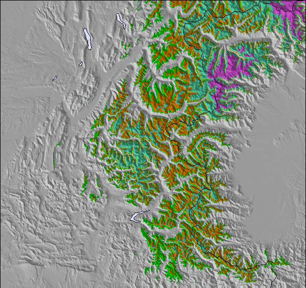
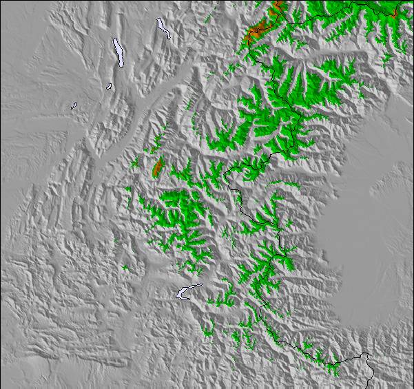
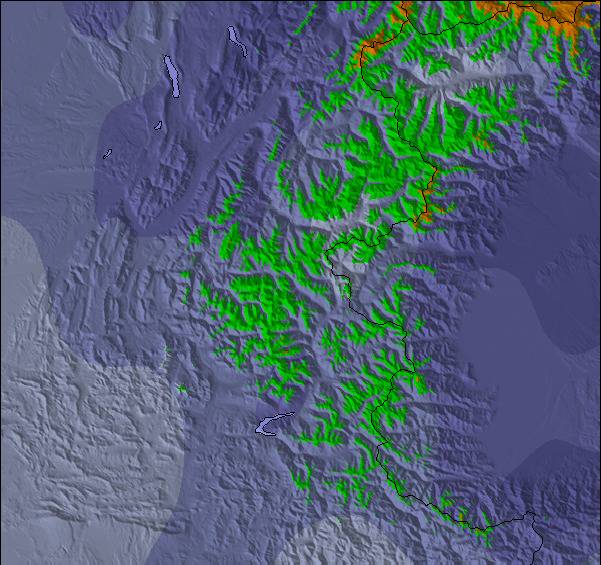
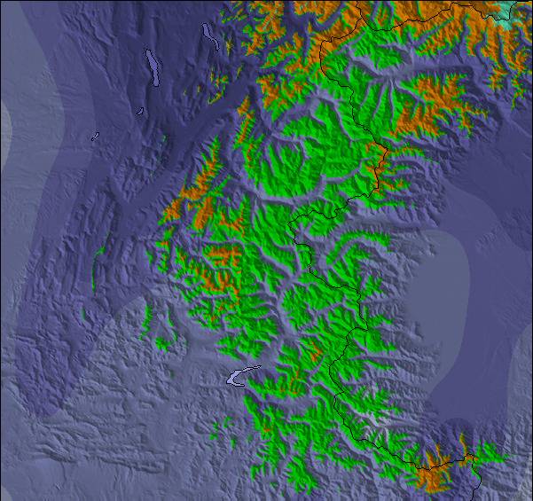
The above table gives the weather forecast for Val Thorens at the specific elevation of 2300 m. Our sophisticated weather models allow us to provide snow forecasts for the top, middle and bottom ski stations of Val Thorens. To access the weather forecasts for the other elevations, use the tab navigation above the table. For a wider view of the weather, check out the Weather Map of France.
Click here to read further information on freezing levels and how we forecast our temperatures.
Overall 4.3 Based on 68 votes and 43 reviews
Very much a good skiers resort. Just back from a week before Christmas. At 2300m so feels Arctic at times (especially noticed when you ski back from Meribel or Courchevel). No trees in sight but plenty of high quality skiing with great snow. Stayed at Les Balcons which is ski in-ski out for a good skier (just off a red piste). Lovely apartments with gym, pool, supermarket and ski hire in the complex. Highly recommended.
Stephen from United Kingdom writes:
Very much a good skiers resort. Just back from a week before Christmas. At 2300m so feels Arctic at times (especially noticed when you ski back from Meribel or Courchevel). No trees in sight but plenty of high quality skiing with great snow. Stayed at Les Balcons which is ski in-ski out for a good skier (just off a red piste). Lovely apartments with gym, pool, supermarket and ski hire in the complex. Highly recommended.
The Val Thorens skiing weather widget is available to embed on external websites free of charge. It provides a daily summary of our Val Thorens snow forecast and current weather conditions. Simply go to the feed configuration page and follow the 3 simple steps to grab the custom html code snippet and paste it into your own site. You can choose the snow forecast elevation (summit, mid-mountain or bottom lift) and metric/imperial units for the snow forecast feed to suit your own website…. Click here to get the code.
View detailed snow forecast for Val Thorens at:
snow-forecast.com


 Nearest