
Airport Transfers by Alpine FLeet
BOOK NOW


Val Thorens Weather (Next 3 days): The snow forecast for Val Thorens is: A light covering of new snow, mostly falling on Wed night. Temperatures will be below freezing (max 0°C on Mon morning, min -3°C on Wed night). Wind will be generally light.
Val Thorens Weather (Days 4-6): A heavy fall of snow, heaviest during Sat night. Temperatures will be below freezing (max -1°C on Sat afternoon, min -7°C on Thu afternoon). Wind will be generally light.
| Resort | Snow Depth | Temp. (°C) | Wind (km/h) | Weather | ||
|---|---|---|---|---|---|---|
| Top Lift: | 2.4 m | -4 | ||||
| Middle Lift: | -2 | |||||
| Bottom Lift: | 1.7 m | -2 |
Latest snow reports near Val Thorens:
Snow is falling in Briancon. from Briancon
Plenty of good snow at altitude. Rain expected on the lower runs and at resort level. from Val Thorens
Snowing at a moderate rate at Val d'Isere. from Val d'Isere

Monday 29 | Tuesday 30 | Wednesday 1 | Thursday 2 | Friday 3 | Saturday 4 | Sunday 5 | |||||||||||||||
AM | PM | night | AM | PM | night | AM | PM | night | AM | PM | night | AM | PM | night | AM | PM | night | AM | PM | night | |
cloudy | cloudy | some clouds | some clouds | light snow | light snow | light snow | light snow | mod. snow | heavy snow | mod. snow | light snow | cloudy | snow shwrs | snow shwrs | light snow | light snow | snow shwrs | clear | clear | some clouds | |
km/h | |||||||||||||||||||||
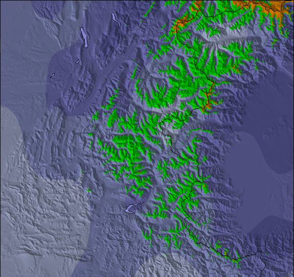
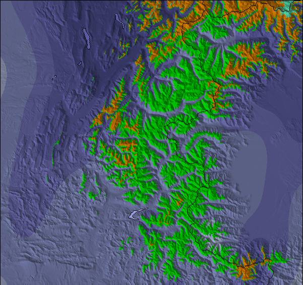
Snow map |  |  |  |  |  |  |  | ||||||||||||||
— | — | — | — | 1.0 | 1.0 | 1.0 | 1.0 | 5 | 12 | 7 | 3 | — | — | — | — | — | 10 | — | — | — | |
— | — | — | — | — | — | — | — | — | — | — | — | — | — | — | — | — | — | — | — | — | |
max°C | 0 | 0 | 0 | 0 | -1 | 0 | -1 | -1 | -1 | -3 | -6 | -7 | -6 | -5 | -4 | -2 | -1 | -2 | -2 | -1 | -1 |
min°C | -1 | 0 | -1 | -1 | -1 | -1 | -2 | -1 | -3 | -5 | -7 | -7 | -7 | -6 | -5 | -3 | -1 | -5 | -3 | -2 | -2 |
-6 | -5 | -6 | -6 | -6 | -6 | -7 | -5 | -6 | -9 | -12 | -13 | -12 | -9 | -8 | -7 | -5 | -9 | -6 | -5 | -4 | |
80 | 76 | 78 | 77 | 85 | 84 | 94 | 85 | 93 | 97 | 96 | 88 | 59 | 73 | 50 | 84 | 94 | 78 | 30 | 74 | 56 | |
2750 | 2800 | 2650 | 2700 | 2650 | 2650 | 2500 | 2650 | 2400 | 1900 | 1800 | 1400 | 1850 | 2100 | 1800 | 2450 | 2550 | 1450 | 2450 | 2550 | 2550 | |
6:24 | — | — | 6:22 | — | — | 6:20 | — | — | 6:20 | — | — | 6:18 | — | — | 6:16 | — | — | 6:16 | — | — | |
— | — | 8:37 | — | — | 8:38 | — | — | 8:39 | — | — | 8:40 | — | — | 8:42 | — | — | 8:44 | — | — | 8:45 | |
A light covering of new snow, mostly falling on Wed night. Temperatures will be below freezing (max 0°C on Mon morning, min -3°C on Wed night). Wind will be generally light.
A heavy fall of snow, heaviest during Sat night. Temperatures will be below freezing (max -1°C on Sat afternoon, min -7°C on Thu afternoon). Wind will be generally light.
Latest snow reports near Val Thorens:
Snow is falling in Briancon. from Briancon
Plenty of good snow at altitude. Rain expected on the lower runs and at resort level. from Val Thorens
Snowing at a moderate rate at Val d'Isere. from Val d'Isere
| Top snow depth: | 240 cm |
|---|---|
| Bottom snow depth: | 170 cm |
| Fresh snowfall depth: | 9 cm |
| Last snowfall: | 28 Apr 2024 |
| Snow Alerts | Create Alert |
0.7 | Bluebird Powder days Fresh snow, mostly sunny, light wind. |
|---|---|
1.6 | Powder days Fresh snow, limited sun, any wind. |
1.4 | Bluebird days Average snow, mostly sunny, light wind. |
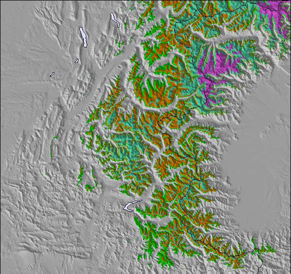
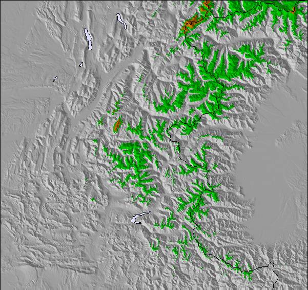
The above table gives the weather forecast for Val Thorens at the specific elevation of 2765 m. Our sophisticated weather models allow us to provide snow forecasts for the top, middle and bottom ski stations of Val Thorens. To access the weather forecasts for the other elevations, use the tab navigation above the table. For a wider view of the weather, check out the Weather Map of France.
Click here to read further information on freezing levels and how we forecast our temperatures.
Overall 4.3 Based on 67 votes and 43 reviews
Val Tho is probably one of the best resorts in the world, and definitely in the top 5 in Europe, if not the best. It is very high at town centre, which keeps it snowsure for the season, even when it is, let's face it, very warm for the time of year. It's another year where the resort prep of pistes is very high standard, as you would expect. Not just in VT but also the rest of the area. Snow quality is still pretty good even though it hasn't snowed in a while now and has been warmer than you may expect through late Jan. The VT Park has had some investment over the last while and they've been putting in land shaping to help if they don't have a lot of snowfall. This season though they've got a lot to be fair. And they've done a great job with it. Shaping is their usual very high standards, and they've got a good balance with options to help people get into it, so smaller, medium, large and booter. There are some cool smaller features around that people are enjoying, like a mushroom type thing at the bottom of the park, which is very popular, and a medium sized hip. It's good to see tha park as popular as it is at the moment in Val Thorens. It should be showing the operator it is an investment worth every penny they put into it. It always provides a memorable spectacle for people even just to watch, and remember long after their trip. You would have to say, all in all, Val Tho is rightly a top pick. And the way things are going with global temperatures rising, you would say this top pick will remain so owing to its high altitude across the entire area on the VT pass.
Baz from United Kingdom writes:
Val Tho is probably one of the best resorts in the world, and definitely in the top 5 in Europe, if not the best. It is very high at town centre, which keeps it snowsure for the season, even when it is, let's face it, very warm for the time of year. It's another year where the resort prep of pistes is very high standard, as you would expect. Not just in VT but also the rest of the area. Snow quality is still pretty good even though it hasn't snowed in a while now and has been warmer than you may expect through late Jan.
The VT Park has had some investment over the last while and they've been putting in land shaping to help if they don't have a lot of snowfall. This season though they've got a lot to be fair. And they've done a great job with it. Shaping is their usual very high standards, and they've got a good balance with options to help people get into it, so smaller, medium, large and booter. There are some cool smaller features around that people are enjoying, like a mushroom type thing at the bottom of the park, which is very popular, and a medium sized hip. It's good to see tha park as popular as it is at the moment in Val Thorens. It should be showing the operator it is an investment worth every penny they put into it. It always provides a memorable spectacle for people even just to watch, and remember long after their trip.
You would have to say, all in all, Val Tho is rightly a top pick. And the way things are going with global temperatures rising, you would say this top pick will remain so owing to its high altitude across the entire area on the VT pass.
The Val Thorens skiing weather widget is available to embed on external websites free of charge. It provides a daily summary of our Val Thorens snow forecast and current weather conditions. Simply go to the feed configuration page and follow the 3 simple steps to grab the custom html code snippet and paste it into your own site. You can choose the snow forecast elevation (summit, mid-mountain or bottom lift) and metric/imperial units for the snow forecast feed to suit your own website…. Click here to get the code.
View detailed snow forecast for Val Thorens at:
snow-forecast.com


 Nearest