
Solitude Sets Record-Breaking Season With 178 Days of Skiing
Updated April 30, 2025: North America holds strong with over 30 ski areas still spinning lifts—snowy peaks in the West, deep bases in the Midwest, and sunny spring turns coast to coast.
Please sign in with your Snow-Forecast account details below.
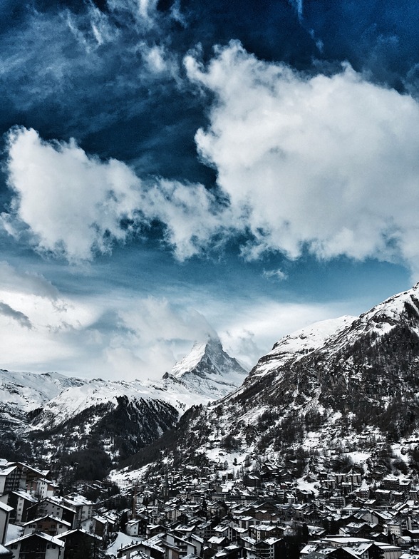

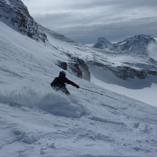
Zermatt Weather (Next 3 days): The snow forecast for Zermatt is: A moderate fall of snow, heaviest on Sun afternoon. Temperatures will be below freezing (max -1°C on Fri afternoon, min -5°C on Sun afternoon). Wind will be generally light.
Zermatt Weather (Days 4-6): A heavy fall of snow, heaviest during Sun night. Temperatures will be well below freezing (max -6°C on Sun night, min -12°C on Mon night). Wind will be generally light.
| Resort | Snow Depth | Temp. (°C) | Wind (km/h) | Weather | ||
|---|---|---|---|---|---|---|
| Top Lift: | 1.1 m | -3 | ||||
| Middle Lift: | 4 | |||||
| Bottom Lift: | 0.1 m | 7 |
Latest snow reports near Zermatt:

Friday 2 | Saturday 3 | Sunday 4 | Monday 5 | Tuesday 6 | Wednesday 7 | ||||||||||||||
night | AM | PM | night | AM | PM | night | AM | PM | night | AM | PM | night | AM | PM | night | AM | PM | night | |
snow shwrs | clear | snow shwrs | snow shwrs | some clouds | light snow | snow shwrs | light snow | mod. snow | heavy snow | light snow | snow shwrs | snow shwrs | snow shwrs | light snow | snow shwrs | some clouds | snow shwrs | snow shwrs | |
km/h | |||||||||||||||||||
Snow map |  |  |  |  |  |  |  | ||||||||||||
— | — | — | — | — | 3 | 4 | — | 5 | 12 | — | 1.0 | — | — | 4 | 7 | — | — | — | |
— | — | — | — | — | — | — | — | — | — | — | — | — | — | — | — | — | — | — | |
max°C | -3 | -2 | -1 | -2 | -3 | -2 | -3 | -4 | -5 | -6 | -9 | -9 | -11 | -10 | -9 | -10 | -10 | -10 | -10 |
min°C | -3 | -3 | -1 | -3 | -3 | -2 | -4 | -4 | -5 | -9 | -9 | -9 | -12 | -11 | -9 | -12 | -11 | -10 | -11 |
-6 | -6 | -3 | -8 | -8 | -7 | -8 | -10 | -11 | -14 | -14 | -14 | -16 | -17 | -9 | -18 | -17 | -16 | -16 | |
58 | 37 | 62 | 62 | 78 | 79 | 71 | 74 | 99 | 97 | 96 | 91 | 84 | 82 | 94 | 89 | 83 | 79 | 65 | |
3350 | 3550 | 3700 | 3450 | 3450 | 3500 | 3250 | 3350 | 3100 | 2450 | 2400 | 2450 | 1900 | 2400 | 2500 | 2050 | 2350 | 2450 | 1850 | |
— | 6:15 | — | — | 6:13 | — | — | 6:11 | — | — | 6:09 | — | — | 6:09 | — | — | 6:07 | — | — | |
— | — | — | 8:37 | — | — | 8:37 | — | — | 8:39 | — | — | 8:40 | — | — | 8:42 | — | — | 8:43 | |
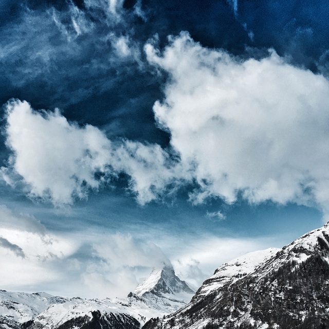
A moderate fall of snow, heaviest on Sun afternoon. Temperatures will be below freezing (max -1°C on Fri afternoon, min -5°C on Sun afternoon). Wind will be generally light.
A heavy fall of snow, heaviest during Sun night. Temperatures will be well below freezing (max -6°C on Sun night, min -12°C on Mon night). Wind will be generally light.
Latest snow reports near Zermatt:
| Top snow depth: | 105 cm |
|---|---|
| Bottom snow depth: | 10 cm |
| Fresh snowfall depth: | — |
| Last snowfall: | 27 Apr 2025 |
| Snow Alerts | Create Alert |
1.3 | Bluebird Powder days Fresh snow, mostly sunny, light wind. |
|---|---|
2.8 | Powder days Fresh snow, limited sun, any wind. |
1.8 | Bluebird days Average snow, mostly sunny, light wind. |
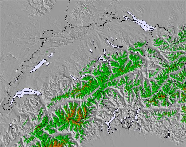
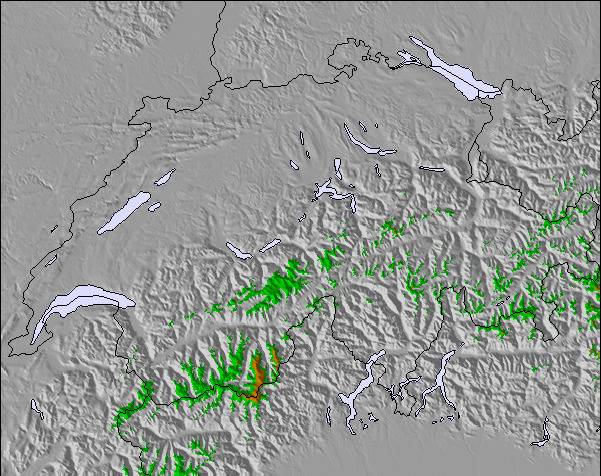
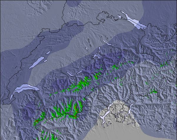
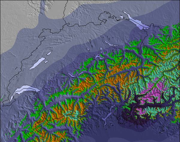
The above table gives the weather forecast for Zermatt at the specific elevation of 3820 m. Our sophisticated weather models allow us to provide snow forecasts for the top, middle and bottom ski stations of Zermatt. To access the weather forecasts for the other elevations, use the tab navigation above the table. For a wider view of the weather, check out the Weather Map of Switzerland.
Click here to read further information on freezing levels and how we forecast our temperatures.
Overall 4.1 Based on 81 votes and 72 reviews
I have read many glowing reports about Zermatt, focussing on the quality of the pistes, the scenery and the lift systems. Whilst I really enjoyed skiing here a couple of downsides are not mentioned. First, it takes a long time to access the pistes via bus and then lift system can take up to an hour. If you are an average intermediate then skiing back to resort is not an option so the runs are heavily limited. Secondly, in early season until end Jan the lifts close around 3.30 pm, which means a short day, making catching the last lift to the top a real necessity. I would recommend it with these caveats but go with open eyes so as not to be short changed.
Julian Davis from Switzerland writes:
I have read many glowing reports about Zermatt, focussing on the quality of the pistes, the scenery and the lift systems. Whilst I really enjoyed skiing here a couple of downsides are not mentioned. First, it takes a long time to access the pistes via bus and then lift system can take up to an hour. If you are an average intermediate then skiing back to resort is not an option so the runs are heavily limited. Secondly, in early season until end Jan the lifts close around 3.30 pm, which means a short day, making catching the last lift to the top a real necessity. I would recommend it with these caveats but go with open eyes so as not to be short changed.
The Zermatt skiing weather widget is available to embed on external websites free of charge. It provides a daily summary of our Zermatt snow forecast and current weather conditions. Simply go to the feed configuration page and follow the 3 simple steps to grab the custom html code snippet and paste it into your own site. You can choose the snow forecast elevation (summit, mid-mountain or bottom lift) and metric/imperial units for the snow forecast feed to suit your own website…. Click here to get the code.
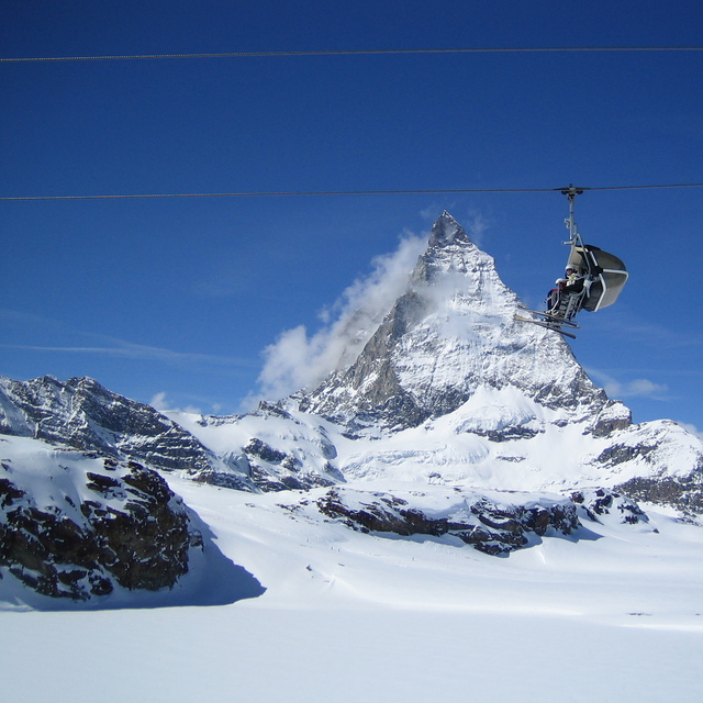
View detailed snow forecast for Zermatt at:
snow-forecast.com

 Nearest